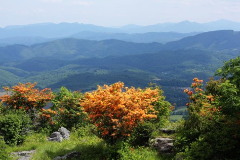
Flame Azaleas on Whitetop Mountain

My son and I spent his birthday on an all-day kayaking trip to Laurel Bed Lake, one of the most remote lakes in Virginia. Laurel Bed Lake is about 330 acres and is located in the center of the Clinch Mountain Wildlife Management Area, Virginia’s second largest such area.

The trip to the Clinch Mountain Wildlife Management Area takes a while to get to from anywhere. From Abingdon, it’s about 35-40 minutes.
Once at the CMWMA, the drive up to the lake takes about another 35-40 minutes, because you have to drive up Clinch Mountain. There is a map of the CMWMA available on the VDGIF website (it is located here).
While the gravel roads are maintained, you should have a four wheel drive vehicle (in fact, the road is often closed in winter). There are several significant switchbacks. The vertical climb from the entrance to the lake is about 1300′, most of it along Big Tumbling Creek, a boulder-strewn creek with numerous waterfalls.
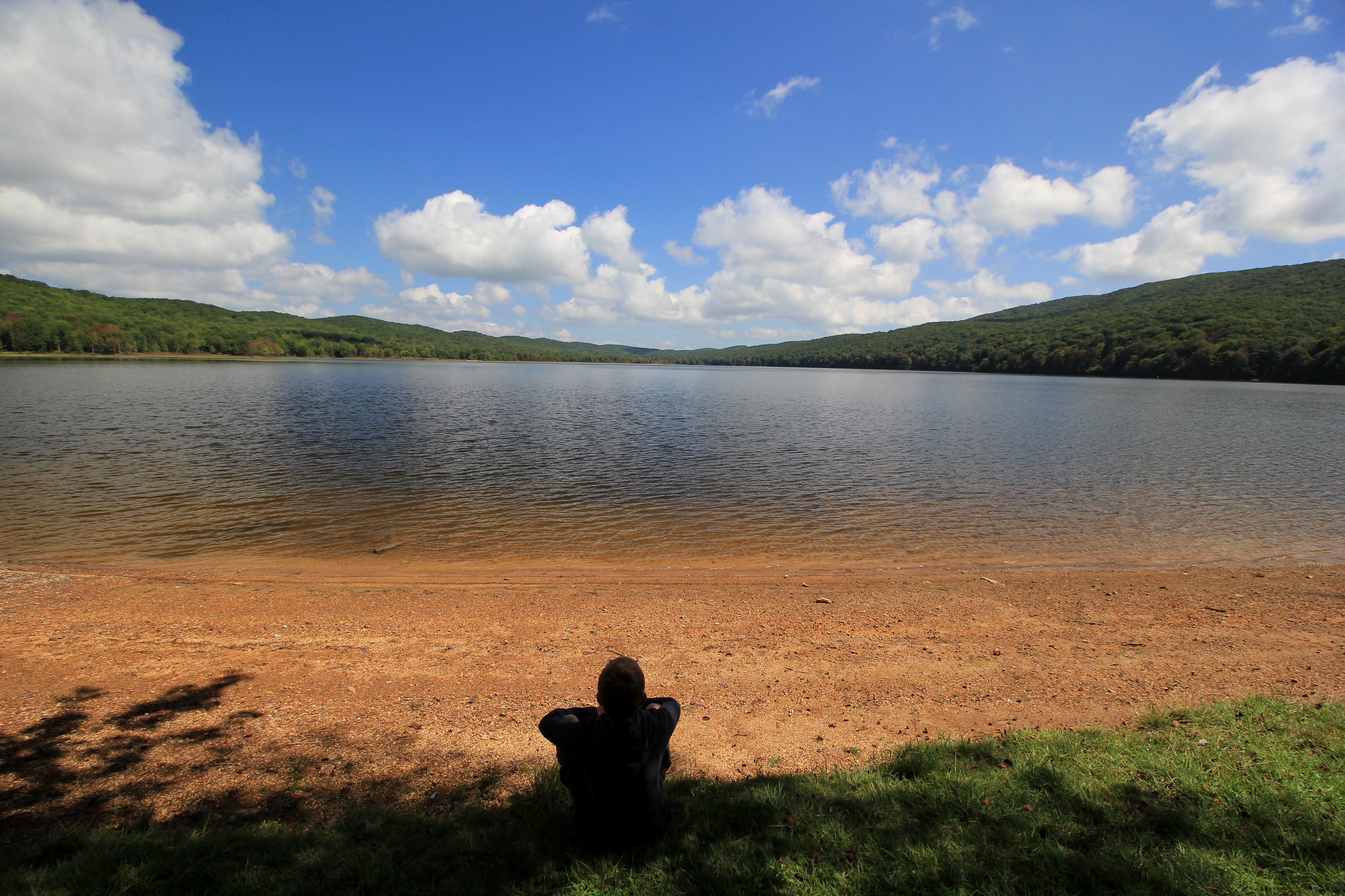
There are smallmouth bass and brook trout in the lake, although we did not have any luck fishing on this day. We did, however, spend about three hours kayaking around the lake: this is a large lake, at least by comparison to the other high mountain lakes in the Southern Appalachians. For example, this lake is much larger than nearby Hidden Valley Lake or Hungry Mother Lake in Virginia, or Julian Price Lake near Blowing Rock, NC.
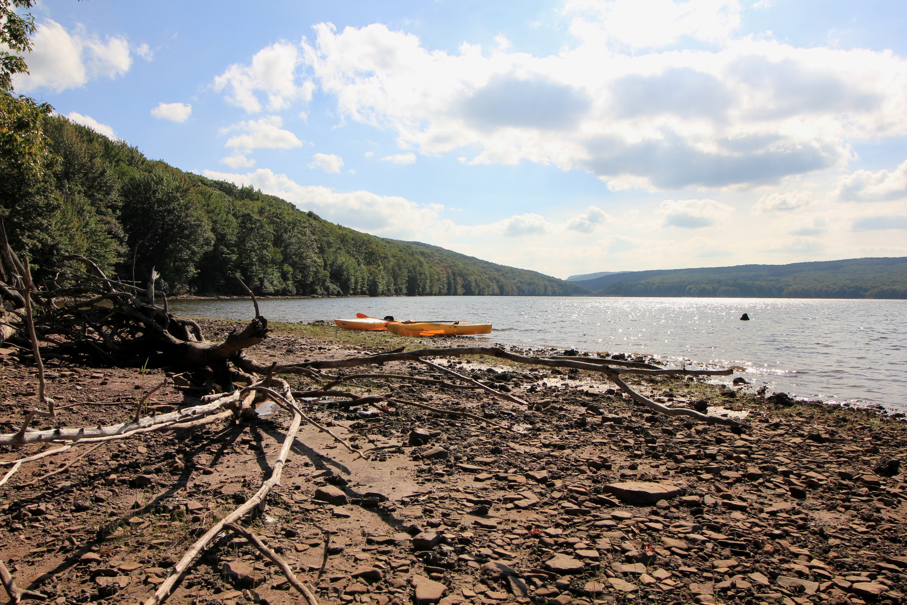
I would estimate that the lake takes about 3-4 hours to circumnavigate. Other than two boat docks, the lake is surrounded by wilderness. No camping is allowed near the lake, so the shoreline is undisturbed and pristine. Paddling on this lake, you can easily imagine yourself somewhere in the remote wilderness of Canada or Maine.

We stopped in a couple of spots to rest and enjoy the sun. We saw all manner of wildlife: jumping fish, hundreds of frogs, ducks, blue herons, a hawk, other birds we could not identify, deer, and a lone bald eagle soaring high in the sky above the lake. There were also signs of beaver along the shoreline.
Generally speaking, one side of the lake features rhododendron and has a steeper bank, while the other side features more wetland areas. The Virginia Department of Game and Inland Fisheries has set up some bird nest areas along the wetland side of the lake.

This is a gem of a lake, one we would like to visit again in the fall when the colors are changing. We were there during a weekday, but the trip to the lake takes so long that I doubt it is ever extremely busy. At one point there were about four boats on the lake, but by the evening we literally had the lake to ourselves. It’s pretty amazing in this day and age that you can have a 330 acre lake to yourself on a nice day.
This is, however, a place you really want to have to visit, as it’s very much out-of-the-way compared to many other outdoor spots in Southwest Virginia. But if you have the time, it’s a worthwhile trip. I know we’ll be back.
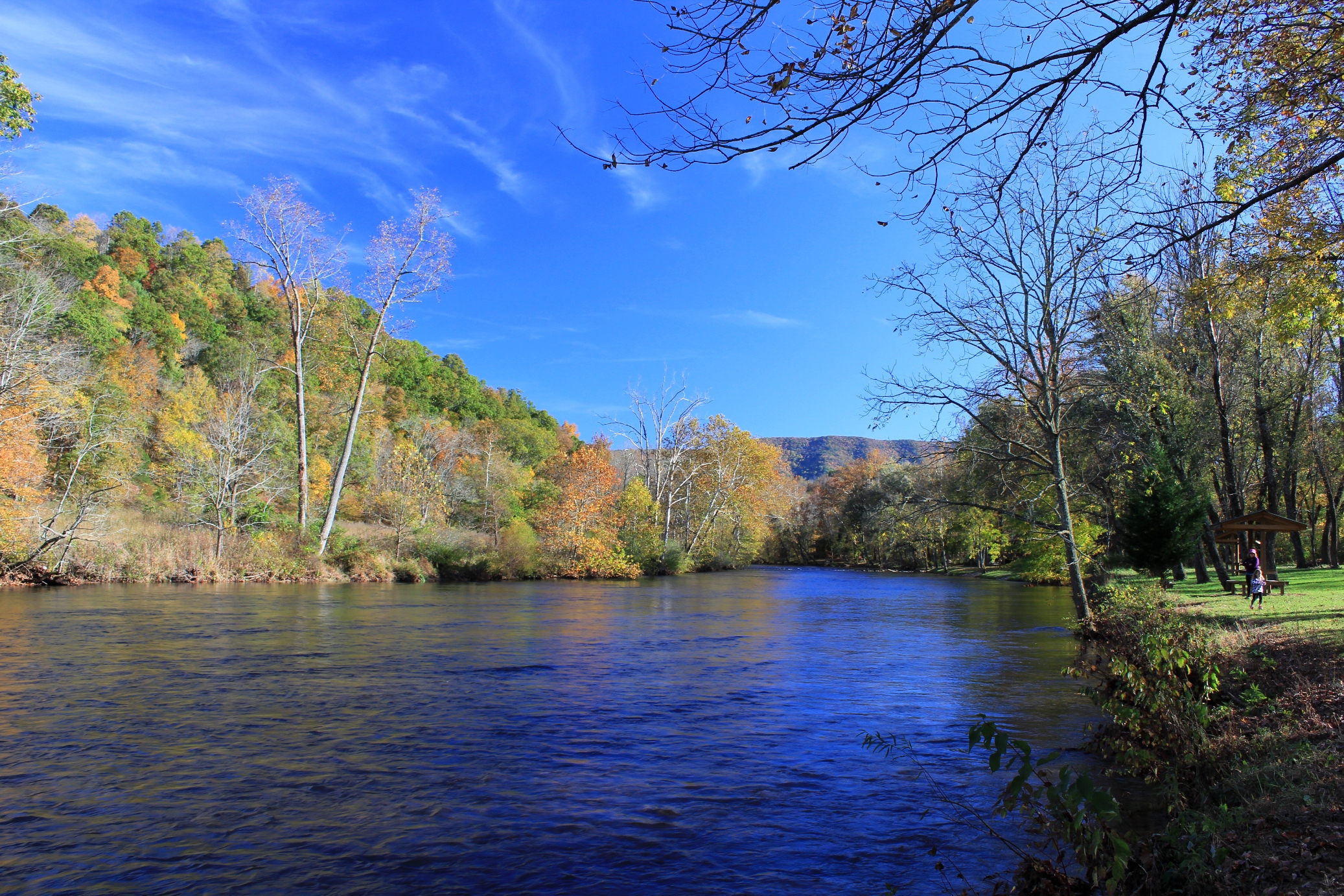
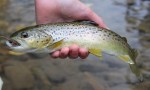
Sunday, April 26, 2015, it was unseasonably cold and overcast–it almost felt like a fall day. We had bad thunderstorms to the north, but the rainfall was scattered across Southwest Virginia. So late that afternoon my son and I decided to go head up to Damascus and see how the creeks were running. We fly fished Whitetop Laurel Creek, and while the water was on the higher end of optimal conditions, the fish were hungry. We caught a number of brown trout in the special regulation section of the creek using large Parachute Madam X flies. We figured because the water wasn’t crystal clear, we’d give the trout something that would catch their attention with the heavier than normal flows.


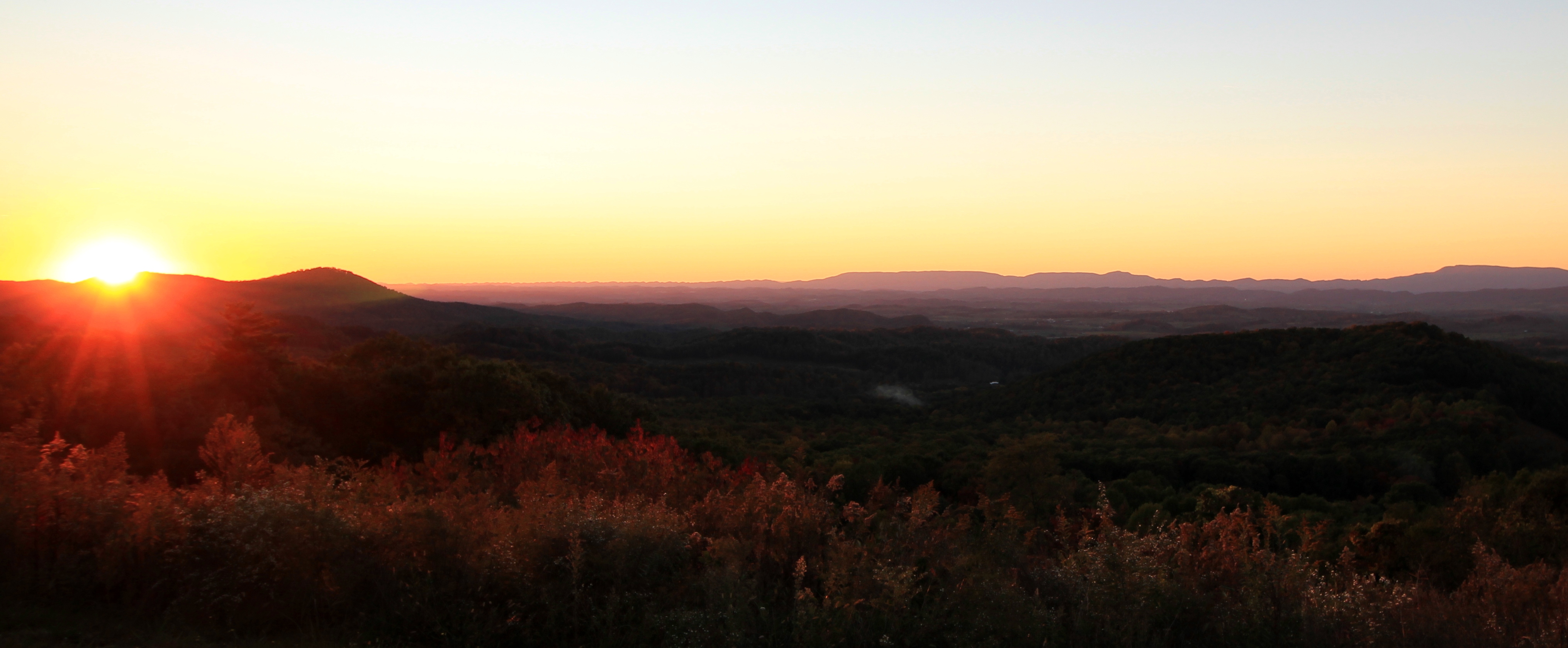
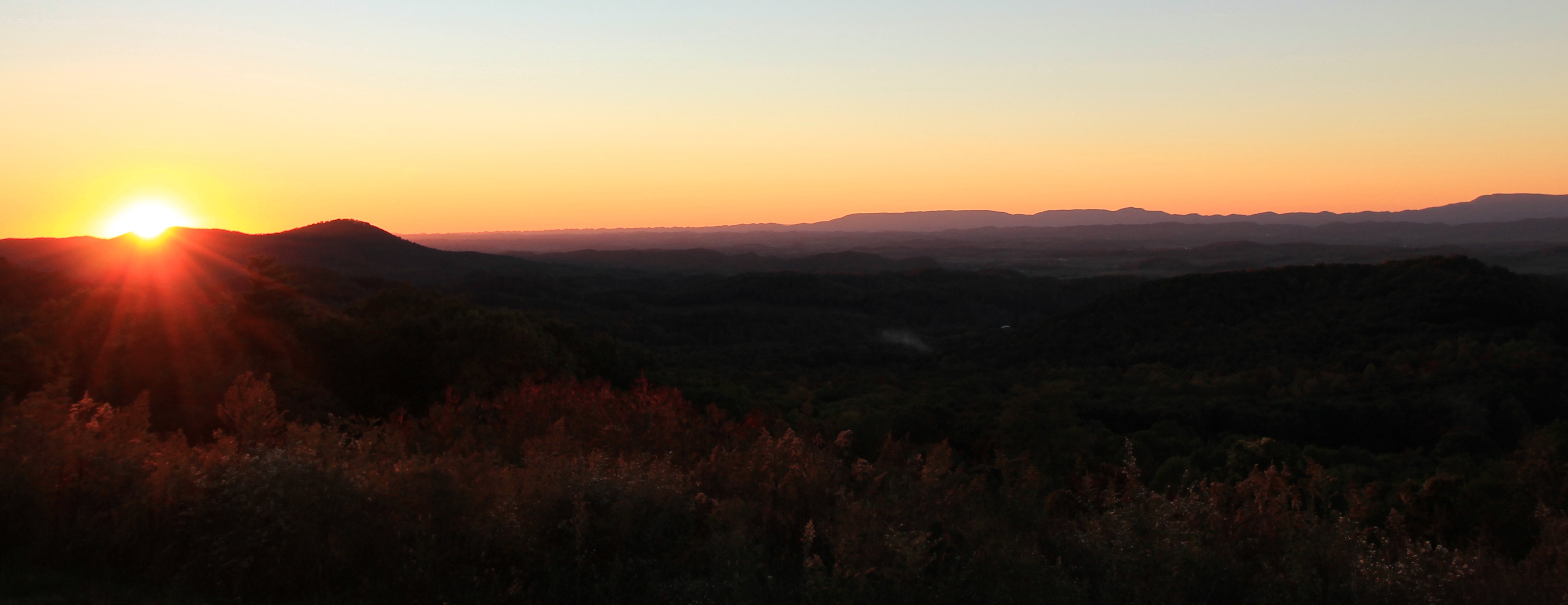
On April 20, 2015, I traveled from Southwest Virginia to Richmond for business. The prior evening there were terrible thunderstorms all across Virginia, but the remnant moisture and fog in the valleys made for some beautiful scenery on the Blue Ridge. The following photos are from Interstate 64, coming off of Afton Mountain looking south.

This panorama shows the extent to which the clouds and fog enveloped the lower ramparts of the mountains:

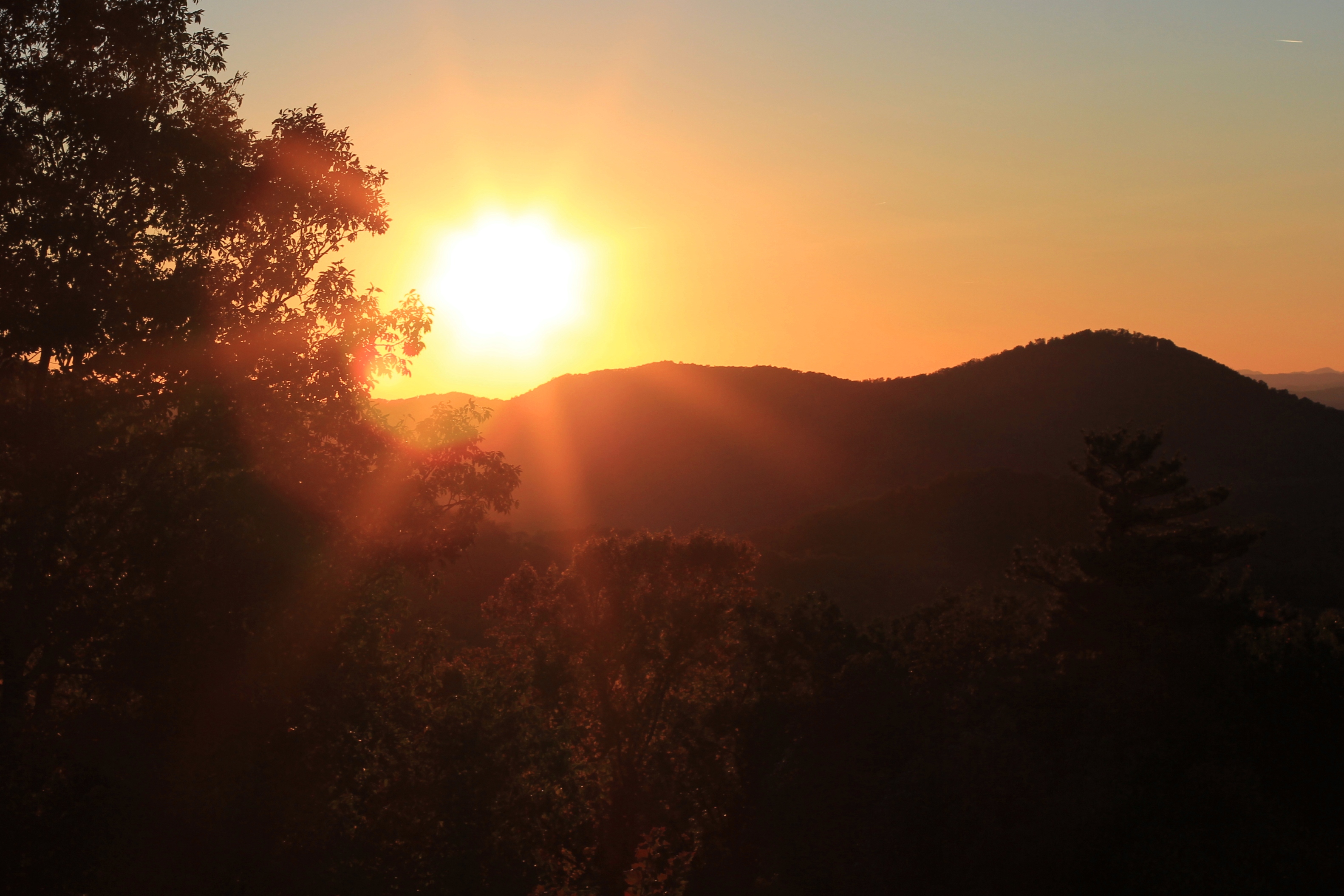
Early morning mist amplifies the Abingdon sunrise colors and bathes Mt. Rogers and Whitetop on March 12, 2015

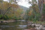
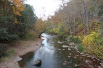
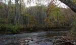
These photos were taken on bank of the South Fork of the Holston River in Alvarado in the late afternoon of October 19, 2014.


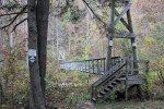
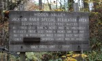
The Jackson River is one of the most renowned trout streams in Virginia, flowing south until it merges with the Cowpasture River forming the beginning of the James. There are two generally known sections of the Jackson River—the lower Jackson, below the dam at Moomaw Lake in Alleghany County, and the upper Jackson, a free-flowing river in Bath County with headwaters reaching almost into Highland County.
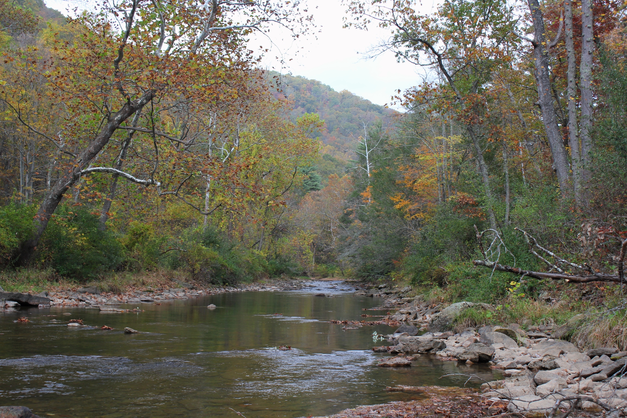
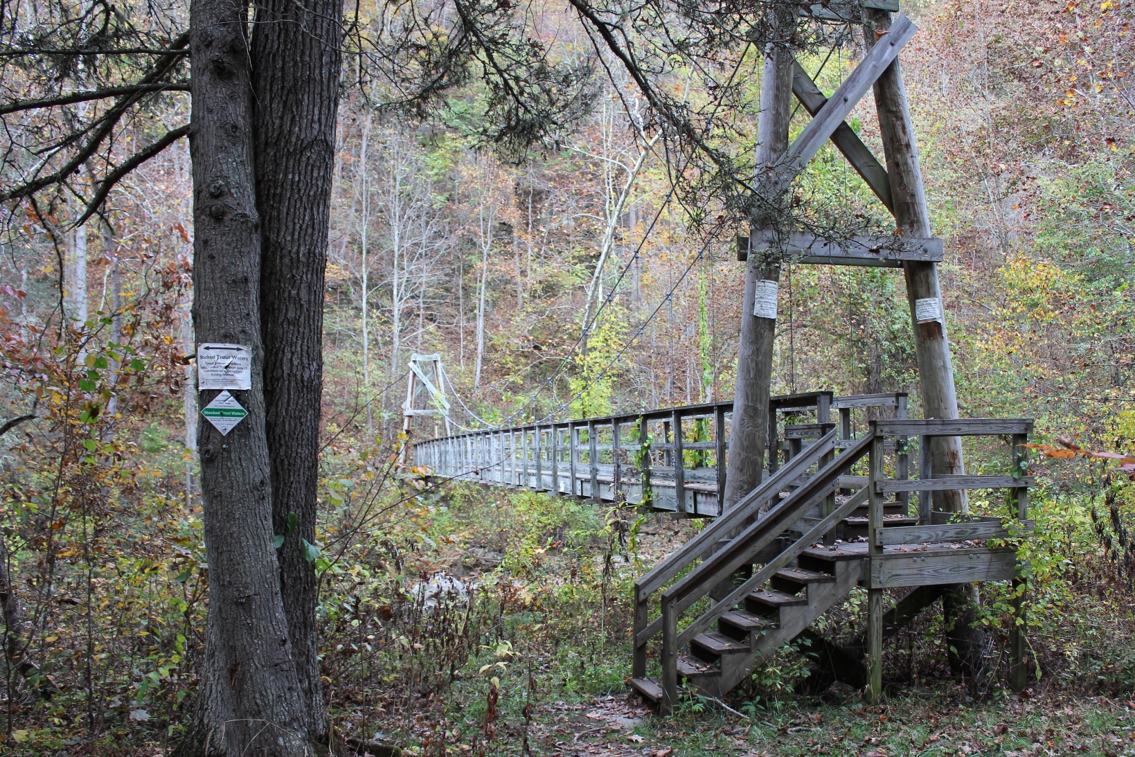
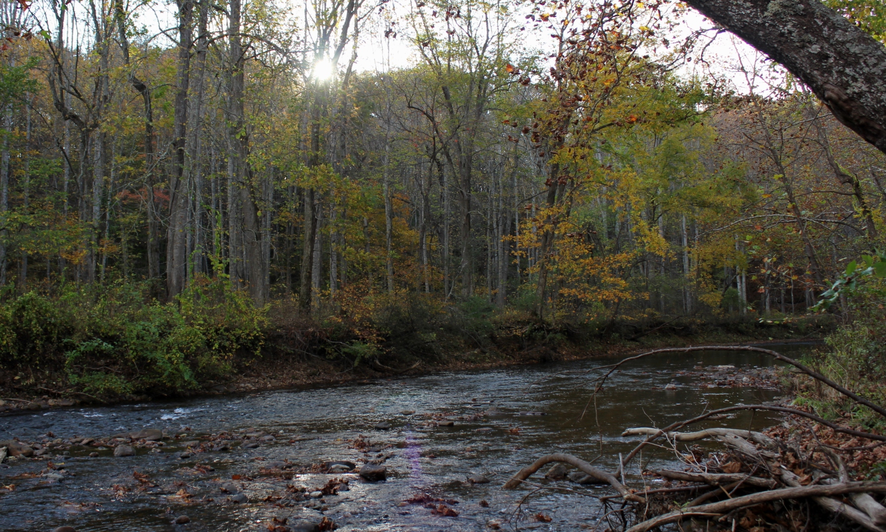
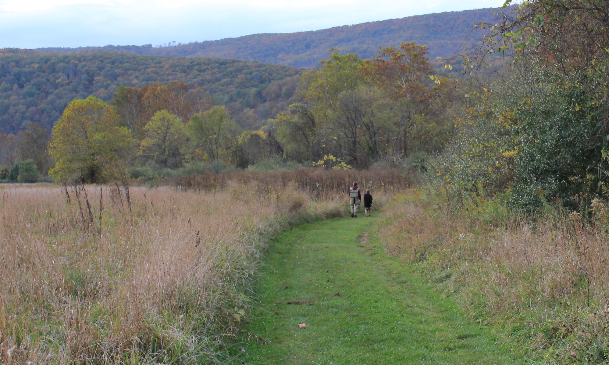
The photos in this article are about the upper Jackson. This section of the river flows through a lengthy, roadless section of the George Washington National Forest, about three and a half miles of nothing but river with a walking trail. For Virginia (and most any Eastern state), this is a lot of pristine riverfront without road access.
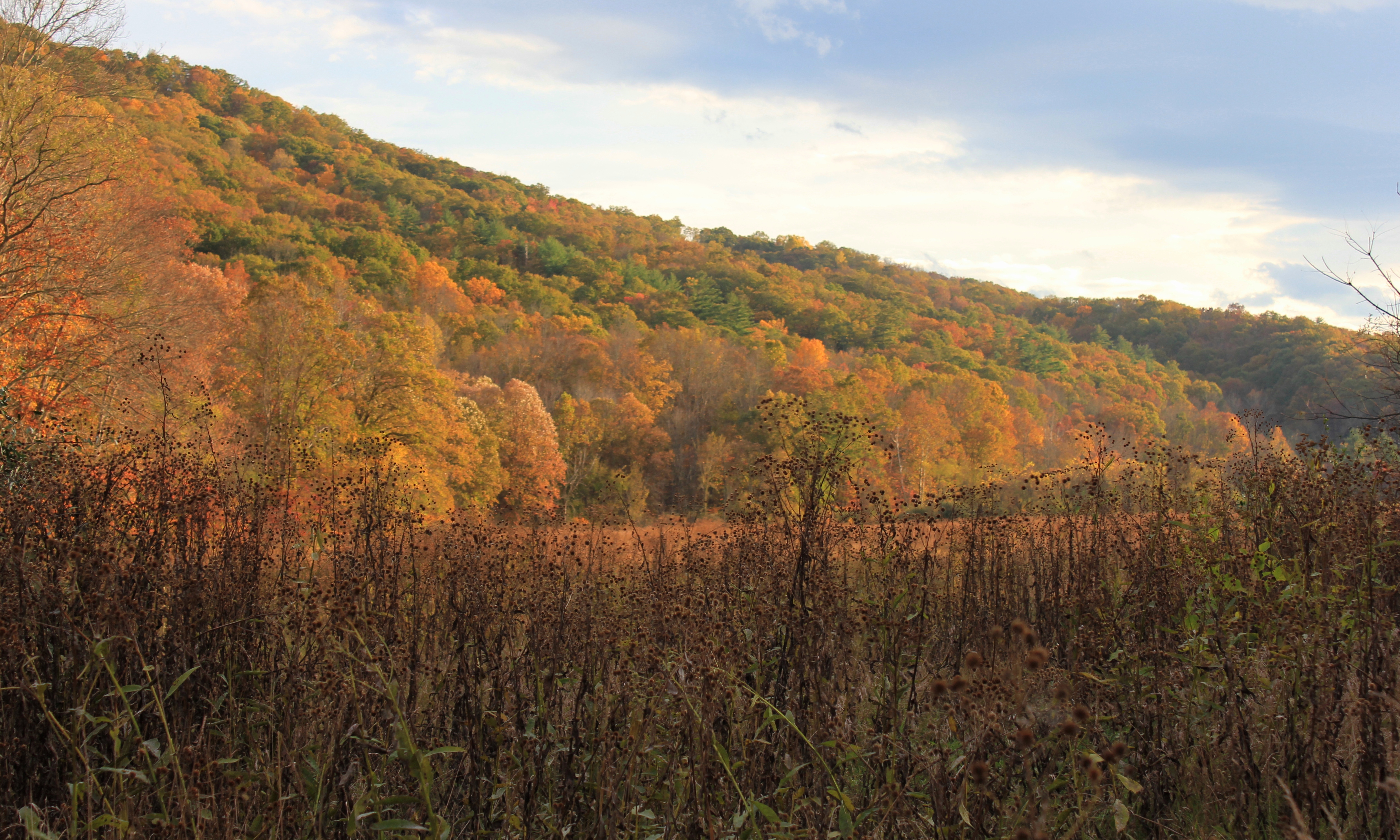
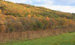
In October 2013, my sons and I traveled here, and we walked and fly fished most of the river. The fall colors were at their peak, absolutely stunning.


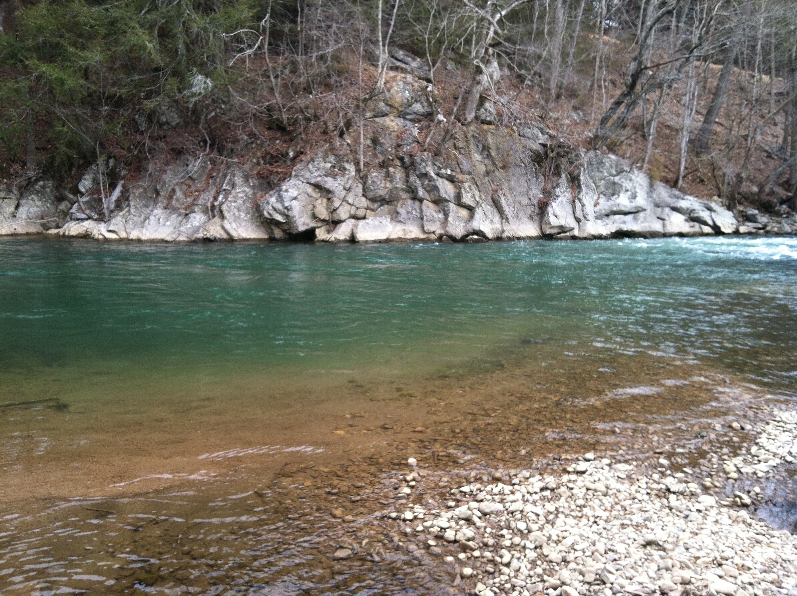
This weekend we went for a walk down the VCT near Alvarado. The melted snow run off from the mountains colored the South Fork of the Holston, making the deeper pools bluish green. The water was just a bit high. The section of river from Damascus to Alvarado was likely about the right level for kayaking.
Because of its prominence, Clinch Mountain affords some of the best views over the Holston River and Clinch River watersheds. The best views are available during the winter when there is no foliage. On clear winter days you can see almost 100 miles south. On Saturday, February 22, 2014, I drove to the Hidden Valley Management Area and hiked the southeastern section of Clinch Mountain on access roads and trails in that area.
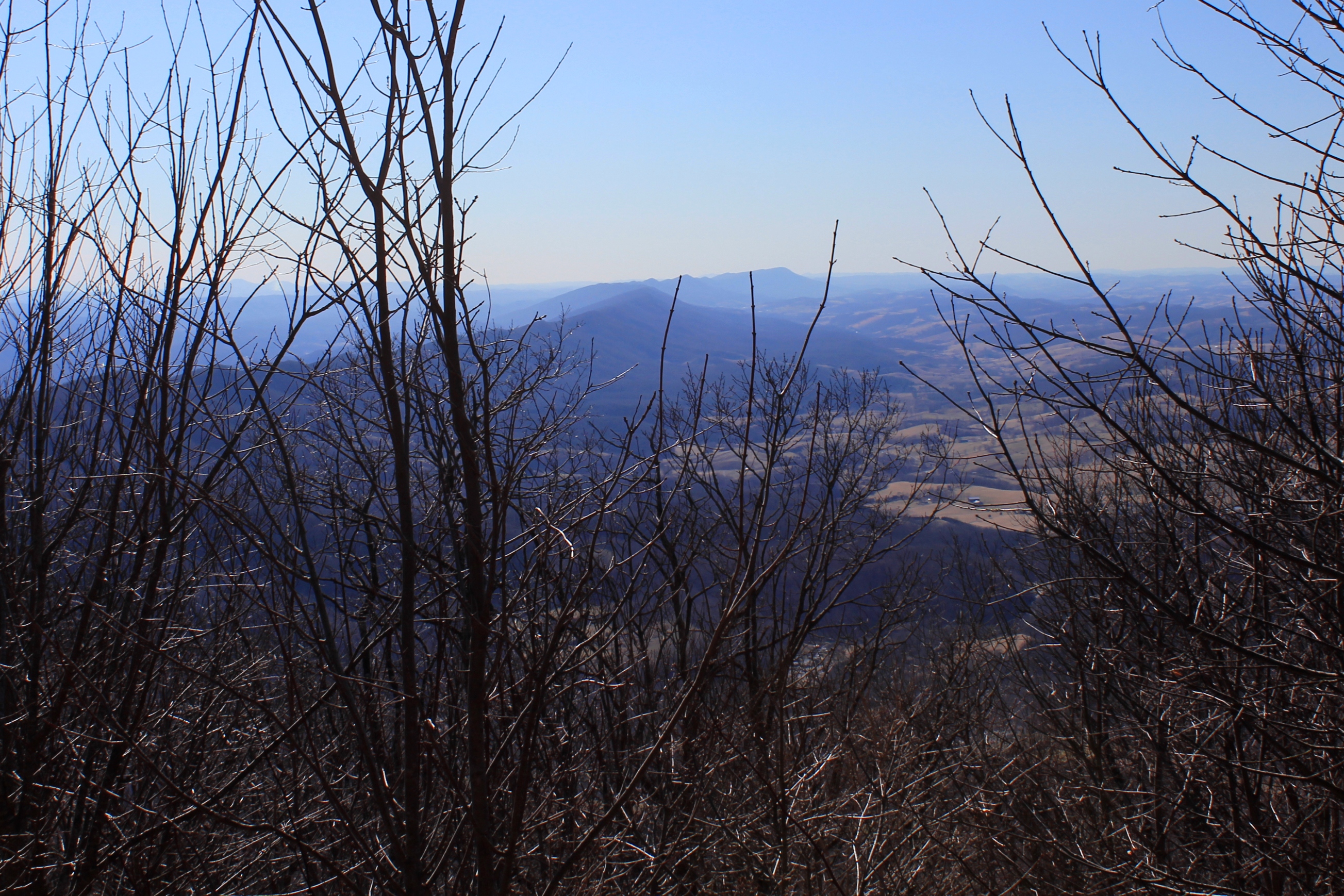
Clinch Mountain overlooks the small community of Hansonville and Moccasin Creek. Clinch Mountain divides two significant river basins: the three forks of the Holston River drain the valleys to the east and south of the mountain (which is to the left of the ridge in the photos), and the Clinch River to the west and north of the mountain (which is to the right in the photos).

In the photo above, the view shows the spine of Clinch Mountain to the southwest, and further to the south the valley through which I-81 travels, with the Iron Mountains (and Holston Mountain) bordering the other side of the valley, with the much higher Unaka Mountains (including Roan Mountain) on the horizon.

The western side of Clinch Mountain hase similarly long range vistas, with some cliff outcroppings. On this hike, however, I stayed on the southeastern side of the mountain.

In the photo above, Clinch Mountain is on the left, and the much smaller hill on the right is Big Moccasin Ridge. Together they frame in the Big Moccasin Creek and the valley.
