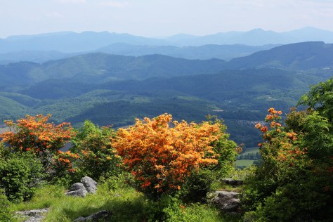
Flame Azaleas on Whitetop Mountain

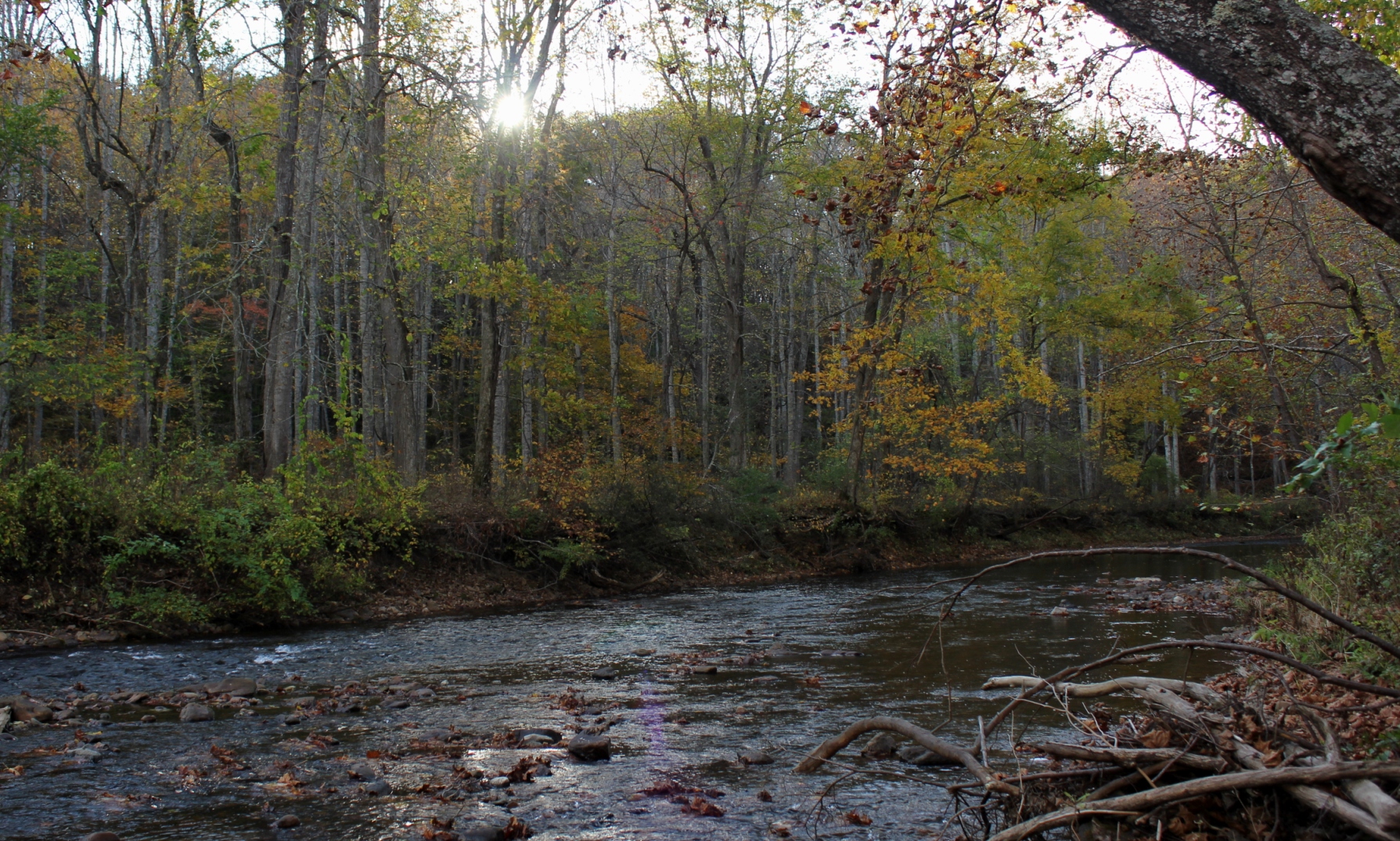
On the evening September 14, 2015, I fished alone. The silence was broken only by the sound of the running water. Looking upstream, the water reflected the sunlight shining off the mountainside, above the small gorge through which the creek runs.
I was able to recite the most famous fly fishing passage:
In the . . . half-light of the canyon, all existence fades to a being with my soul and memories and the sounds of the . . . river and a four-count rhythm and the hope that a fish will rise.
Eventually, all things merge into one, and a river runs through it. . . .
A River Runs Through It, Norman McClean

Several years ago, I wrote an article about Virginia’s Most Spectacular Hike. While I acknowledge that a superlative description like that is subjective, I still stand by that description these years later. In Tennessee, I believe the most spectacular hike is probably the section of the Appalachian Trail up on the balds near Roan Mountain, sometimes called the “Balds of Roan,” even though the main balds–Round Bald, Jane Bald, and Grassy Bald–are all to the north of Roan Mountain proper.
On May 2, 2015, we drove from Abingdon to Carver’s Gap and hiked the AT, which runs across the crest of the first two balds with a short side trail to the top of Grassy Bald. The temperature was around 60° and mostly sunny, with relatively clear skies. The mountains above 4000′ were still mostly devoid of foliage. By late May, the hills will be verdant with hues of green, and by mid-June, the famous rhododendron gardens on Roan Mountain will be in full bloom. This time of year—late April and early May—the AT is full of thru-hikers, those who are attempting to complete the entire AT on the traditional south to north route.

This section of the trail is relatively easily accessed from the Tri-Cities via Route 19 and Tennessee State Highway 143, which climbs to Carver’s Gap at 5512′, where there is a parking area next to the trail. Because of the easy access and great views, this section of the AT is highly traveled and is busy on most nice weekends.

Grassy Ridge Bald is the highest of the balds. It requires a short, moderate climb off a side trail to reach the top. The round-trip hike from Carver’s Gap to the Grassy Bald area and back is approximately 5½ miles.
The top of the bald is roughly the size of a couple of football fields, with 360° views depending on where you walk. There were some overnight campers on the mountain the day we were there. The views on a clear night are probably phenomenal, although there is most surely some light pollution from Johnson City and Bristol on the western side.

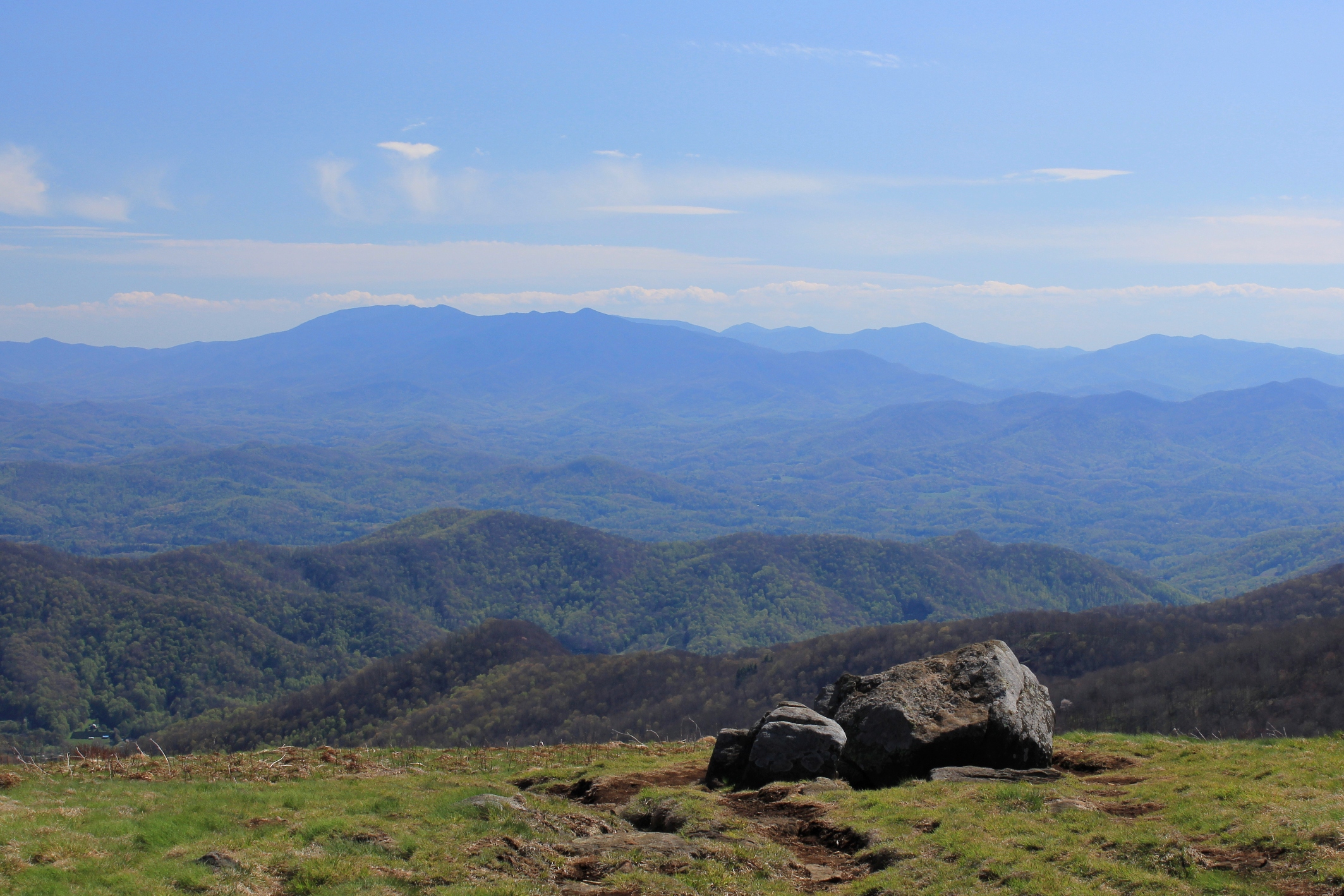
The two above photos show the immense views of the Black Mountains and surrounding peaks in North Carolina. This is one of the best views in the South. On the other hand, the views to the west aren’t too shabby, either. Below is a view looking southwest, where the smaller mountains create layered views that are so appealing and distinctly Appalachian.

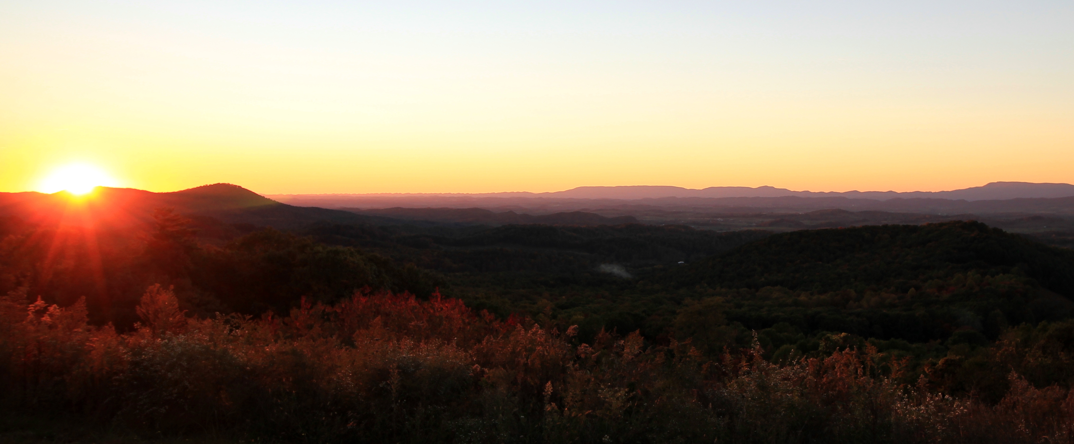
Looking to the northwest, there are views as far as the Cumberland Mountains in Kentucky. The photo below shows the view more directly north, into Virginia. The larger massif on the right side of the photo is Whitetop, Mount Rogers, and possibly Pond Mountain in North Carolina.

We were not able to stay until sunset, but came off the mountain just as the so-called Golden Hour was approaching. The shadows grew and the colors softened as sunset approached.

This hike is not only accessible by car, but is also moderate in nature. While there is some climbing, the fact that you start at 5500′ means most the climbing has already been done in your vehicle. So the hike is also more accessible to individuals who are fit but not extreme hikers.
Because of the accessibility and great views, this hike is one of the most popular in region. If you are here on a weekend, be prepared to have company. Sometimes finding a parking spot is a challenge, too. Those minor considerations notwithstanding, this is a truly spectacular hike that will take you into territory that is unusual for the South. These are the largest contiguous balds in the Appalachian Mountains, and the above-treeline views are extraordinary.
Having hiked in the Smokies and most of the other better known spots in Tennessee, it’s my opinion that the balds here make up the most spectacular hike in the Volunteer State.

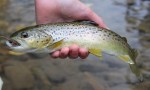
Sunday, April 26, 2015, it was unseasonably cold and overcast–it almost felt like a fall day. We had bad thunderstorms to the north, but the rainfall was scattered across Southwest Virginia. So late that afternoon my son and I decided to go head up to Damascus and see how the creeks were running. We fly fished Whitetop Laurel Creek, and while the water was on the higher end of optimal conditions, the fish were hungry. We caught a number of brown trout in the special regulation section of the creek using large Parachute Madam X flies. We figured because the water wasn’t crystal clear, we’d give the trout something that would catch their attention with the heavier than normal flows.


On April 20, 2015, I traveled from Southwest Virginia to Richmond for business. The prior evening there were terrible thunderstorms all across Virginia, but the remnant moisture and fog in the valleys made for some beautiful scenery on the Blue Ridge. The following photos are from Interstate 64, coming off of Afton Mountain looking south.

This panorama shows the extent to which the clouds and fog enveloped the lower ramparts of the mountains:

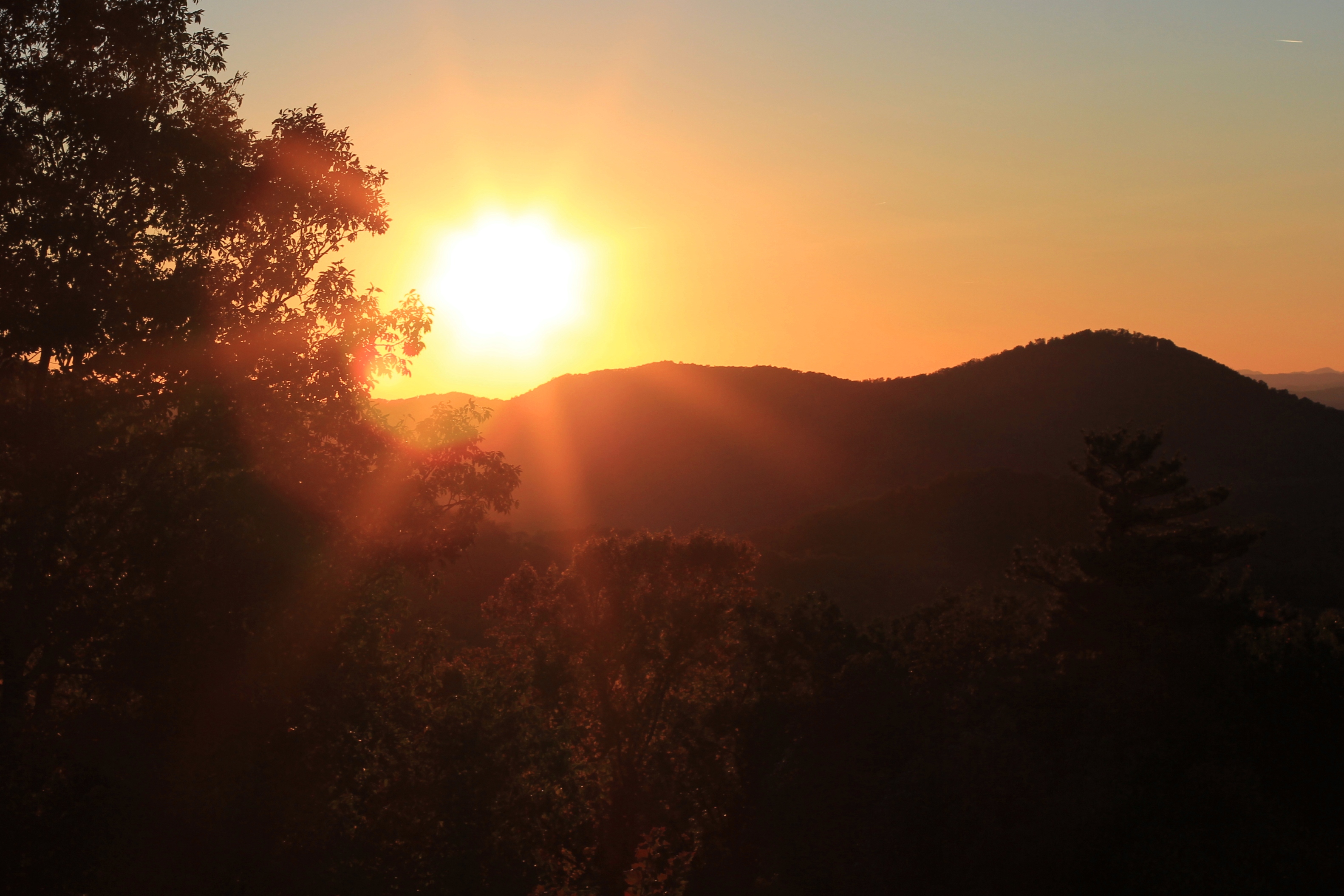
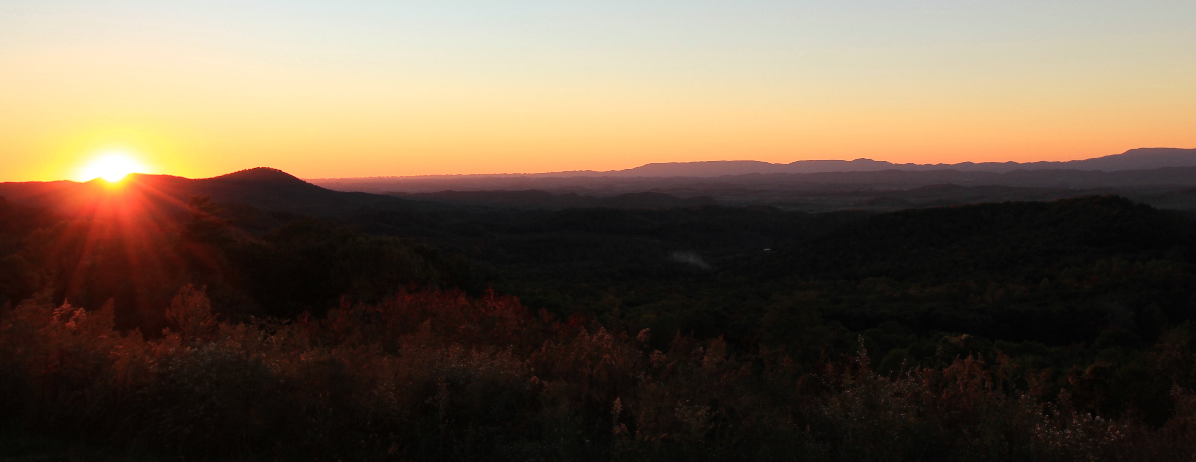
Early morning mist amplifies the Abingdon sunrise colors and bathes Mt. Rogers and Whitetop on March 12, 2015

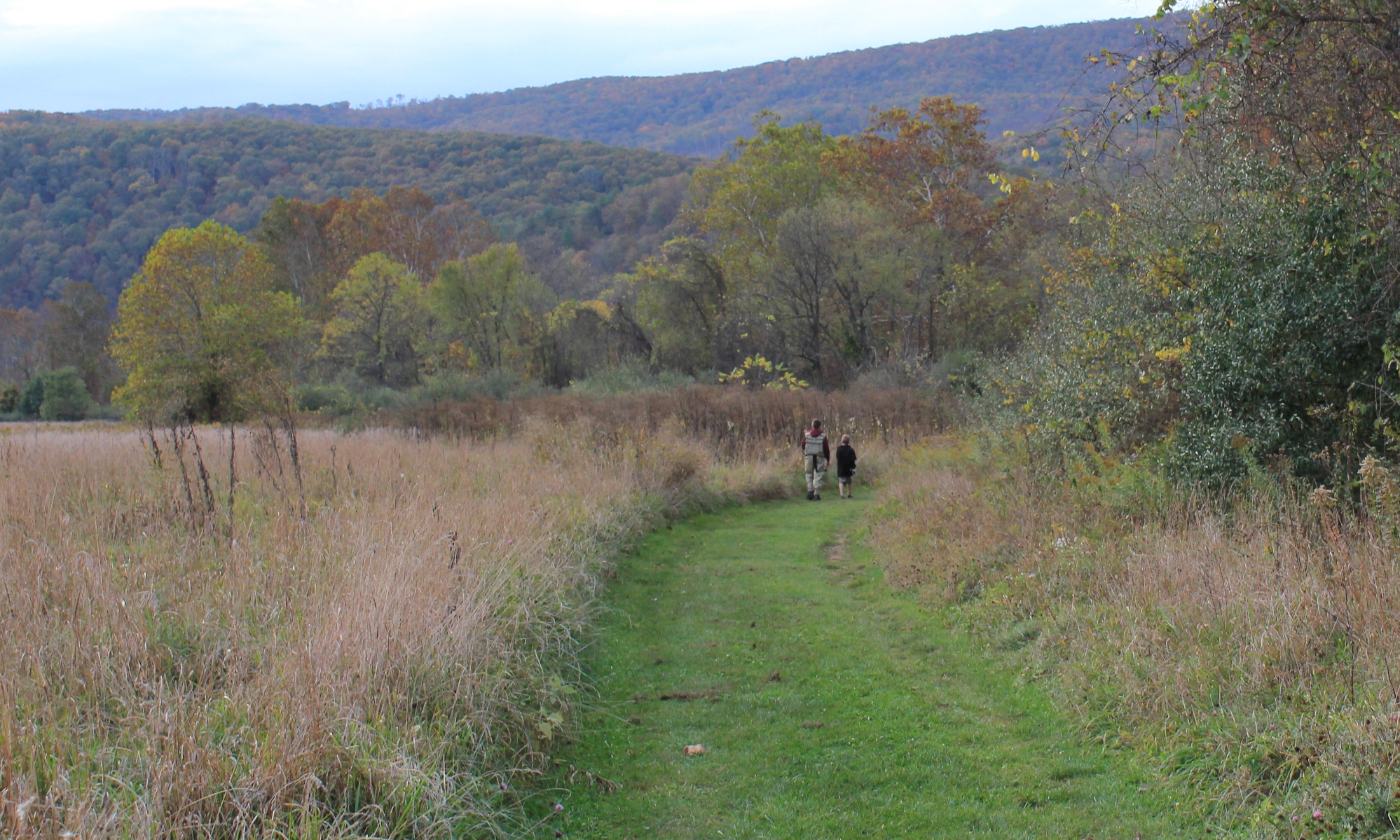
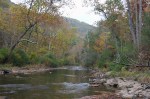
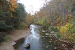
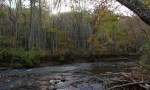
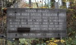
The Jackson River is one of the most renowned trout streams in Virginia, flowing south until it merges with the Cowpasture River forming the beginning of the James. There are two generally known sections of the Jackson River—the lower Jackson, below the dam at Moomaw Lake in Alleghany County, and the upper Jackson, a free-flowing river in Bath County with headwaters reaching almost into Highland County.
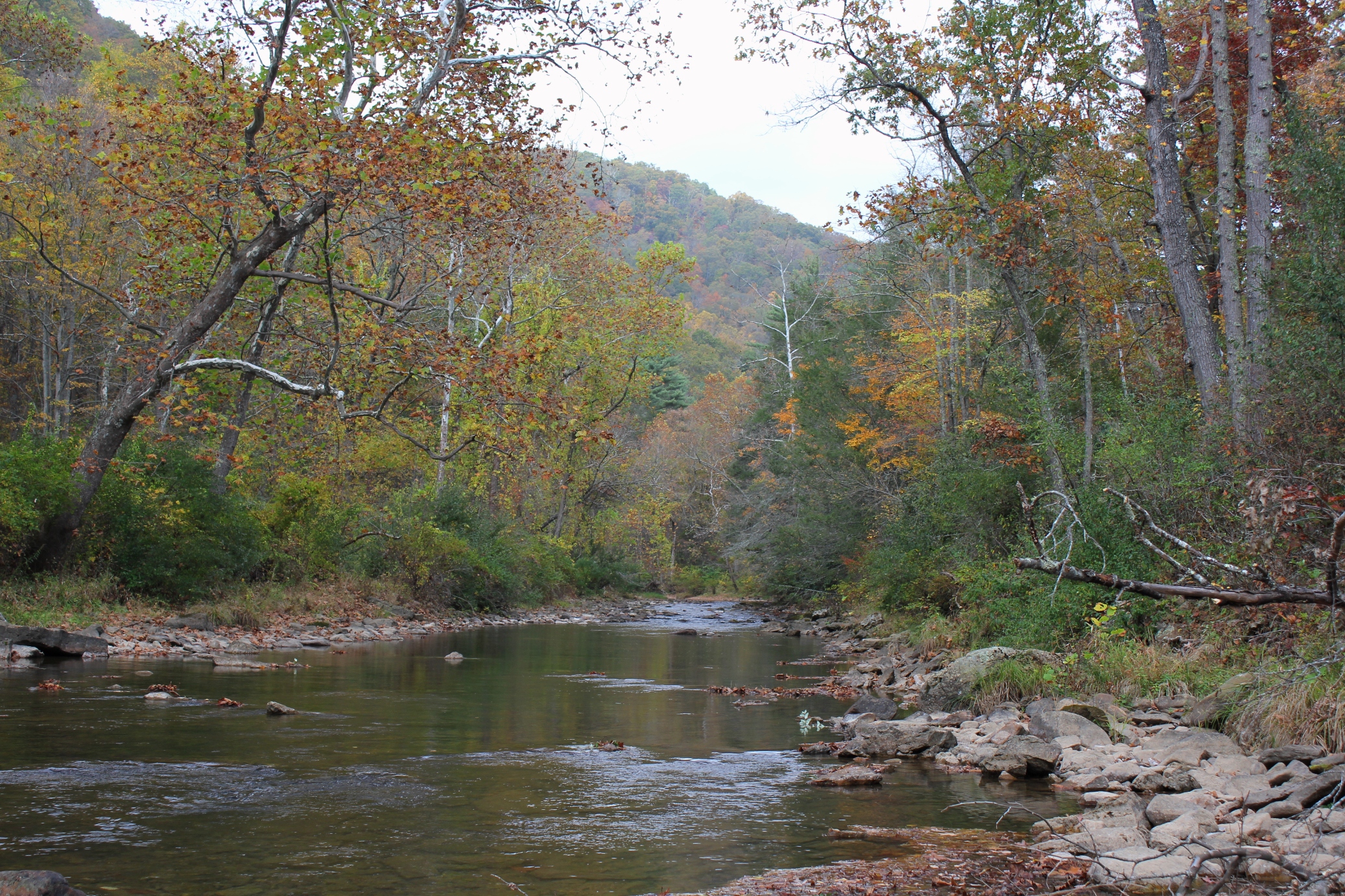
The photos in this article are about the upper Jackson. This section of the river flows through a lengthy, roadless section of the George Washington National Forest, about three and a half miles of nothing but river with a walking trail. For Virginia (and most any Eastern state), this is a lot of pristine riverfront without road access.
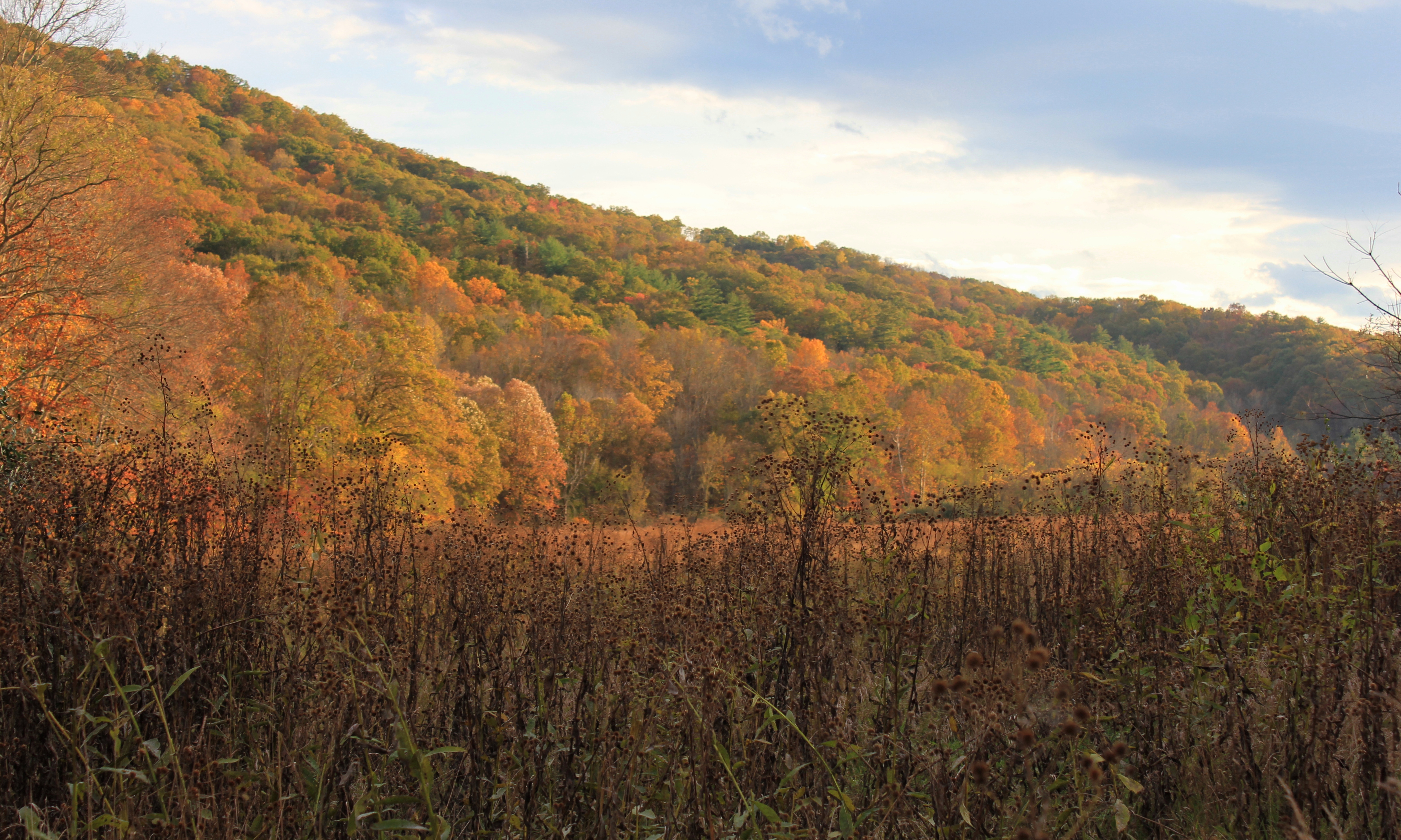
In October 2013, my sons and I traveled here, and we walked and fly fished most of the river. The fall colors were at their peak, absolutely stunning.


One of the places in Southwest Virginia that most ardently celebrates Memorial Day is Marion.
The courthouse square becomes a memorial to those men and women from Smyth County who have served the United States in the Armed Forces. Hundreds of flags and crosses are placed to recognize their service to our country.

On Thursday, May 22, 2014, the Town of Marion and Rolling Thunder held an outdoor ceremony in front of the Smyth County courthouse to memorialize those soldiers who have been missing in action in each of the U.S. military conflicts since World War I. The weather outside was perfect for the ceremony.

The grounds in front of the courthouse were literally covered with flags and crosses. The historical marker on the courthouse lawn, seen below, provides some history about Smyth County and the courthouse.

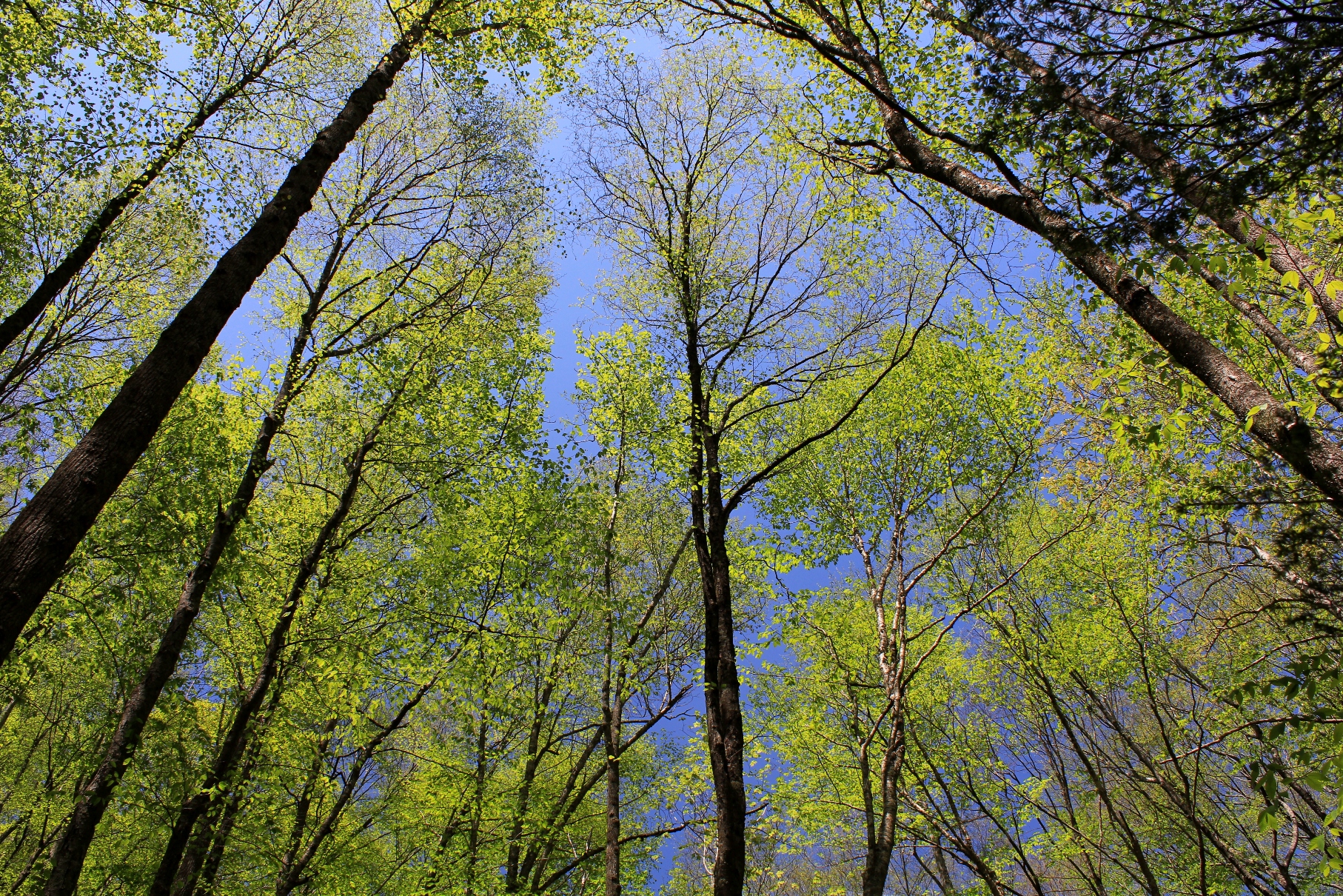
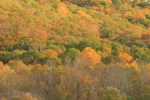
The emergence of an abundance of foliage in the Appalachians is the surest sign that Spring is in full force. Every week the hues of green change on the mountains and in the valleys as the leaves grow on the hardwoods. These photos were taken today, Sunday, May 11, 2014, during a hike in the area where Virginia, Tennessee, and North Carolina meet.