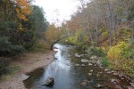
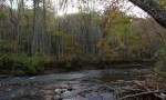
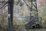
These photos were taken on bank of the South Fork of the Holston River in Alvarado in the late afternoon of October 19, 2014.


These photos were taken on bank of the South Fork of the Holston River in Alvarado in the late afternoon of October 19, 2014.
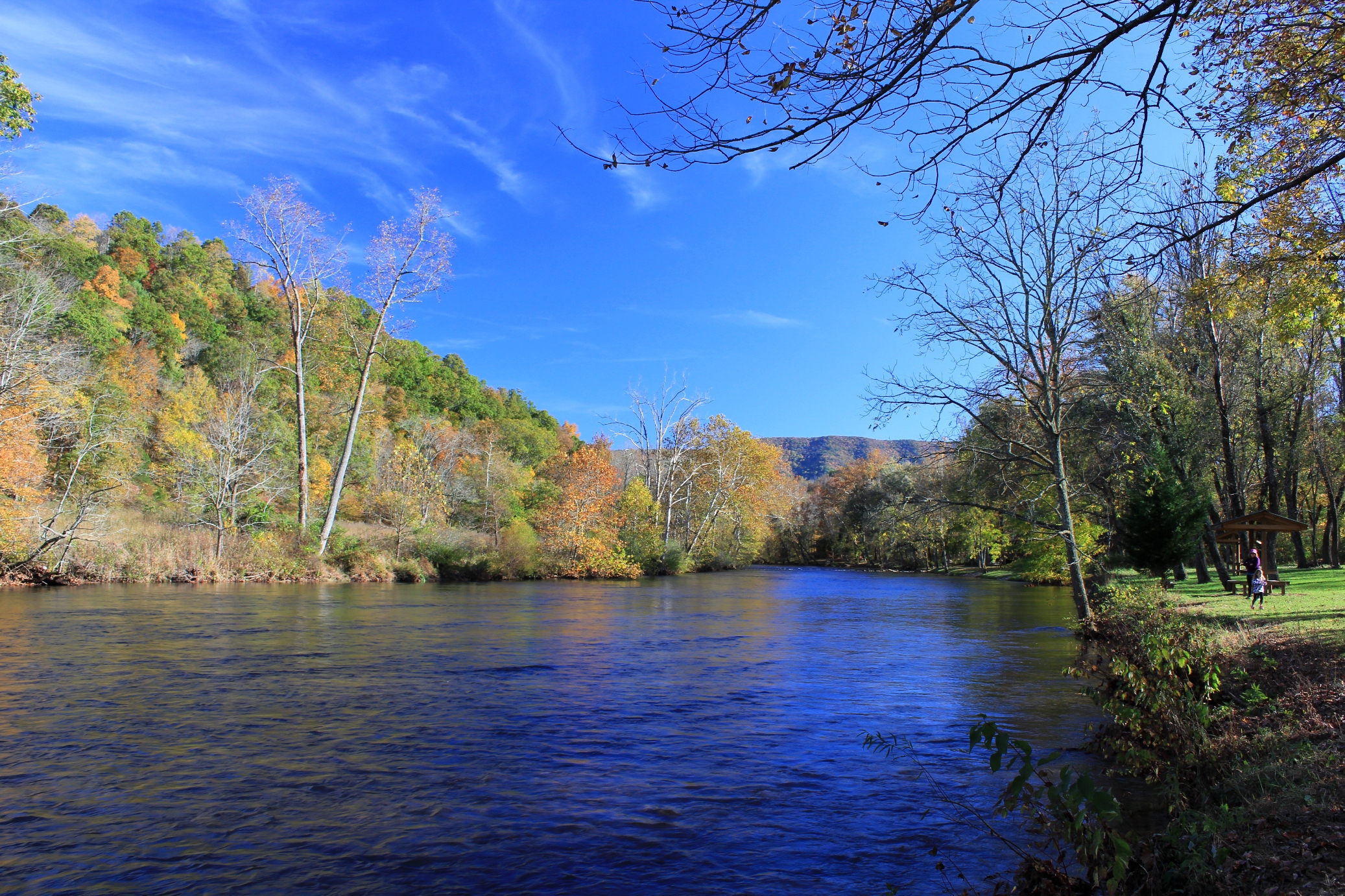
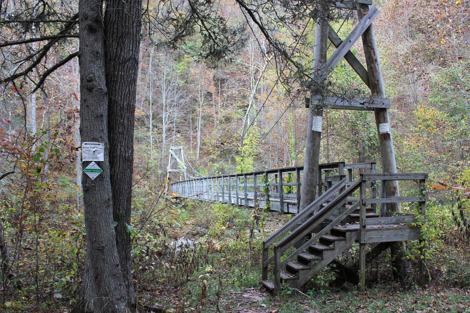
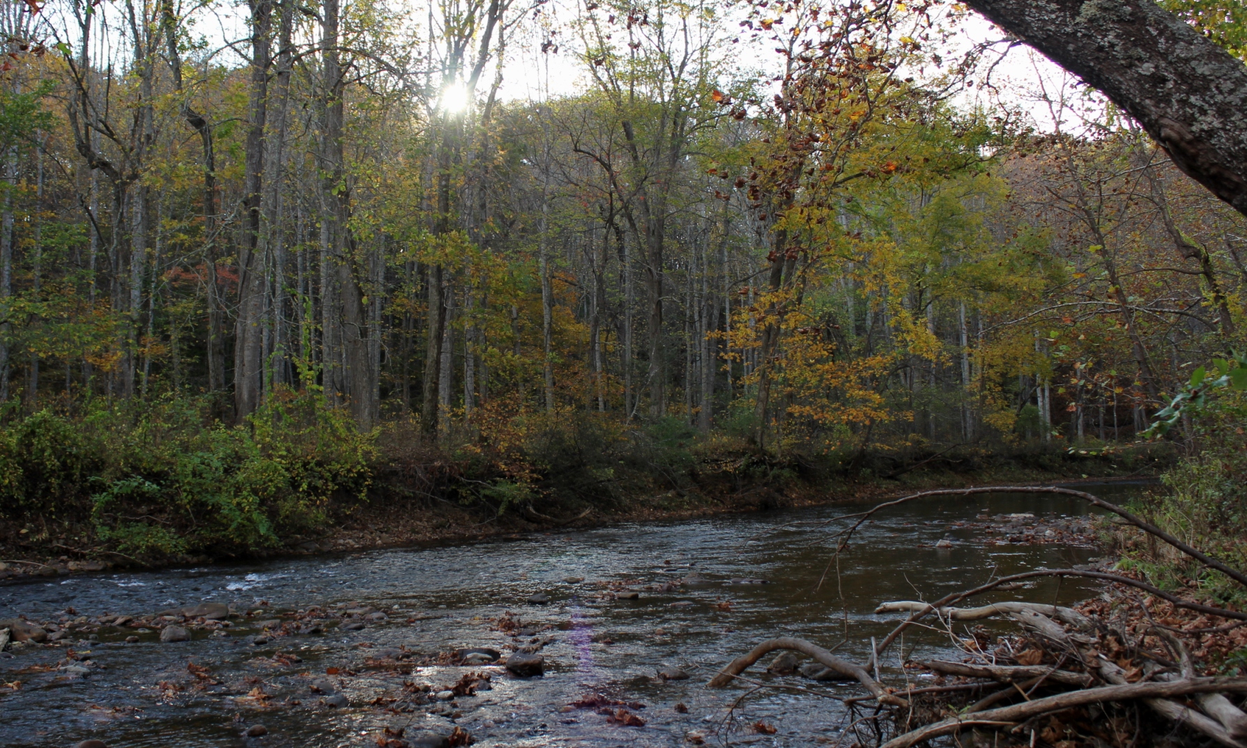
The Jackson River is one of the most renowned trout streams in Virginia, flowing south until it merges with the Cowpasture River forming the beginning of the James. There are two generally known sections of the Jackson River—the lower Jackson, below the dam at Moomaw Lake in Alleghany County, and the upper Jackson, a free-flowing river in Bath County with headwaters reaching almost into Highland County.
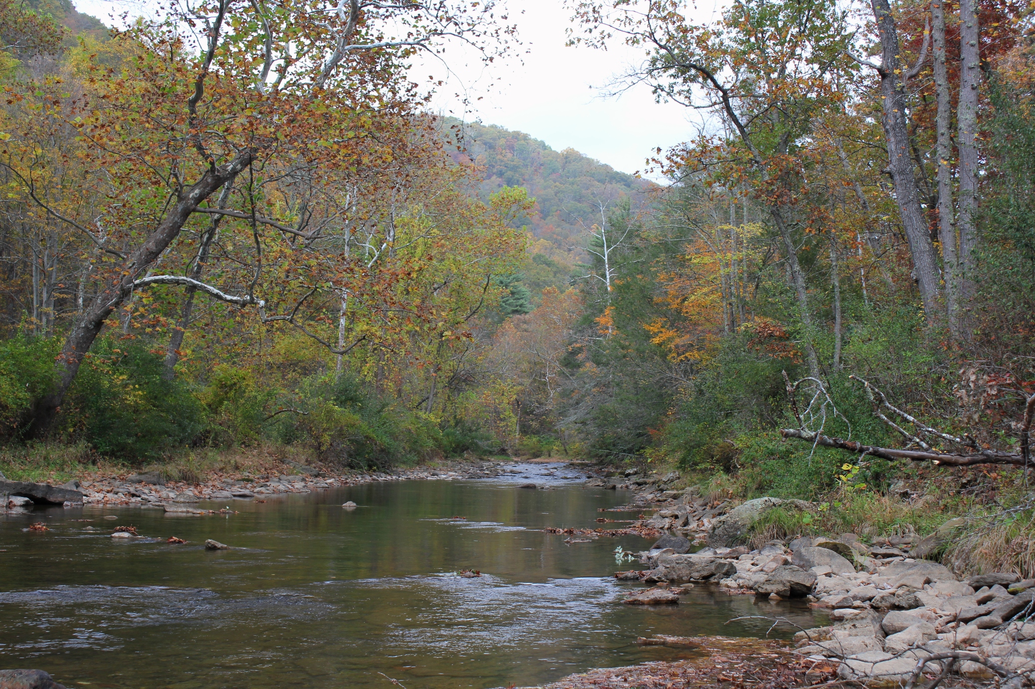
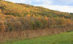
The photos in this article are about the upper Jackson. This section of the river flows through a lengthy, roadless section of the George Washington National Forest, about three and a half miles of nothing but river with a walking trail. For Virginia (and most any Eastern state), this is a lot of pristine riverfront without road access.
In October 2013, my sons and I traveled here, and we walked and fly fished most of the river. The fall colors were at their peak, absolutely stunning.


One of the places in Southwest Virginia that most ardently celebrates Memorial Day is Marion.
The courthouse square becomes a memorial to those men and women from Smyth County who have served the United States in the Armed Forces. Hundreds of flags and crosses are placed to recognize their service to our country.

On Thursday, May 22, 2014, the Town of Marion and Rolling Thunder held an outdoor ceremony in front of the Smyth County courthouse to memorialize those soldiers who have been missing in action in each of the U.S. military conflicts since World War I. The weather outside was perfect for the ceremony.

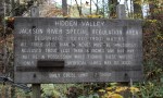
The grounds in front of the courthouse were literally covered with flags and crosses. The historical marker on the courthouse lawn, seen below, provides some history about Smyth County and the courthouse.

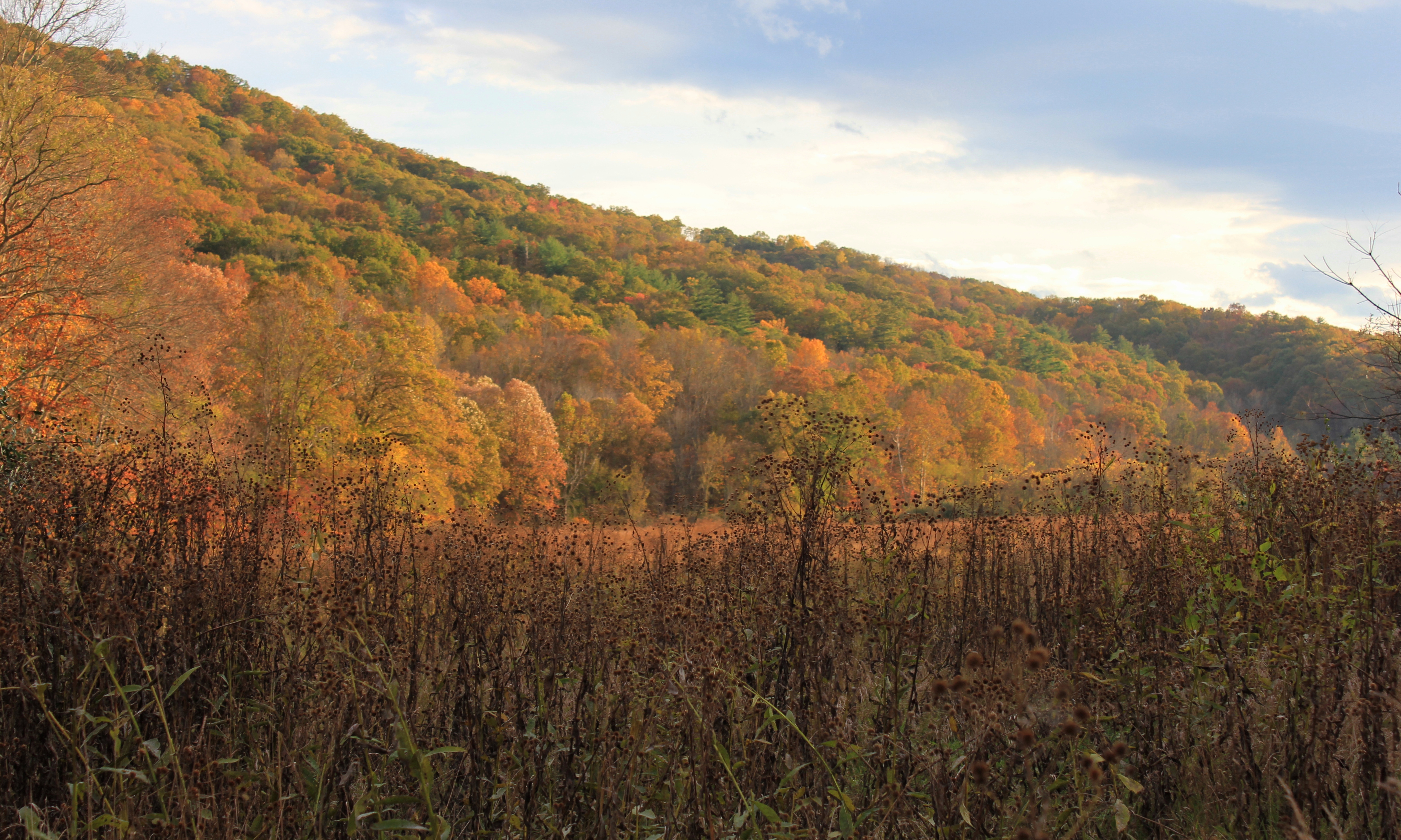
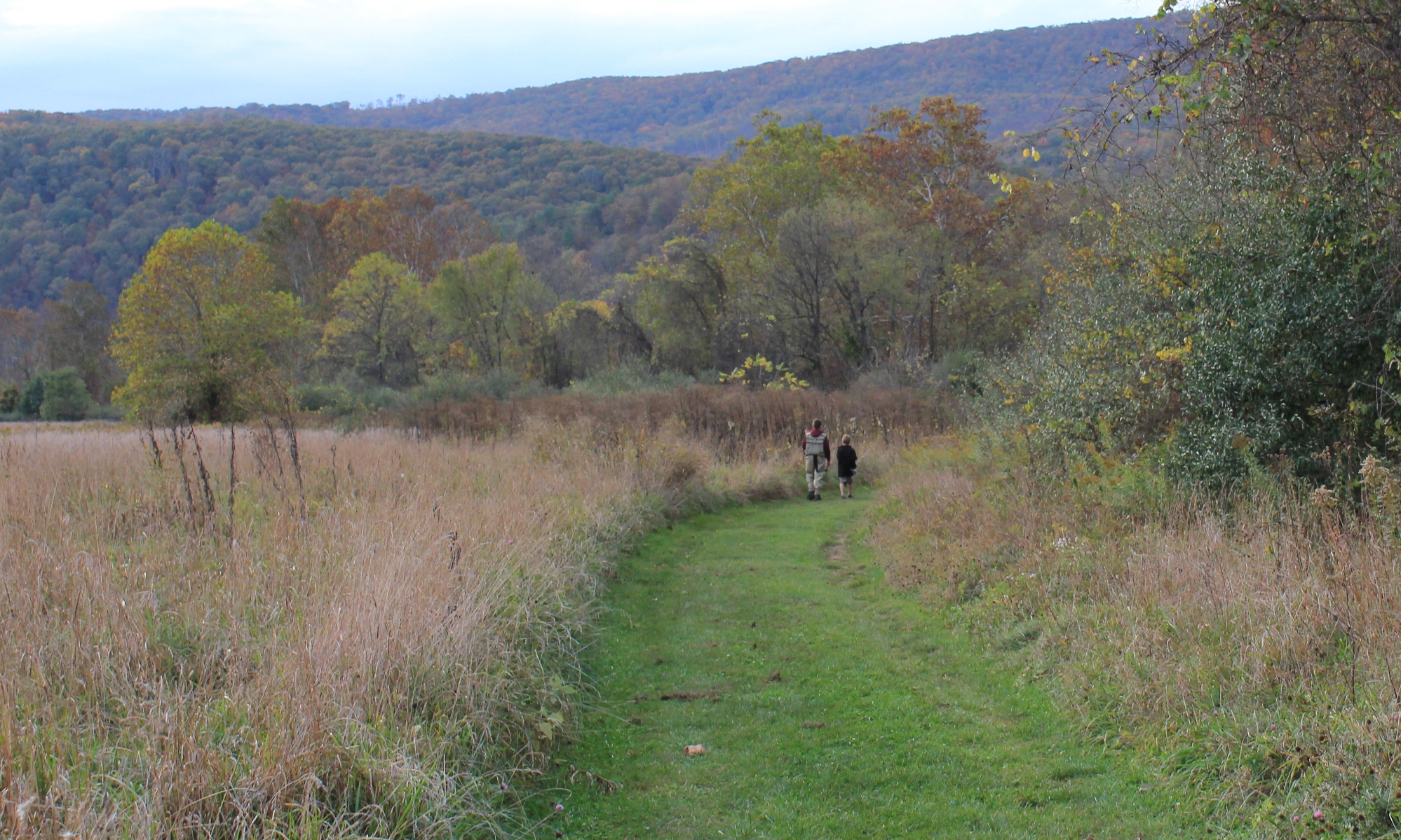
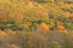
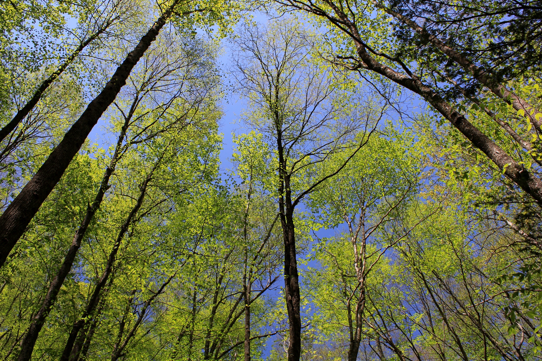
The emergence of an abundance of foliage in the Appalachians is the surest sign that Spring is in full force. Every week the hues of green change on the mountains and in the valleys as the leaves grow on the hardwoods. These photos were taken today, Sunday, May 11, 2014, during a hike in the area where Virginia, Tennessee, and North Carolina meet.

Spring has arrived, and we finally have warm weather after a colder than usual winter. These two mourning doves have been on and about my property for the last three weeks, providing us with entertainment during their courtship.

Here is the sunrise yesterday. This same time last year I posted a late March sunrise, you can see that here.

This weekend we once again attended the 2014 Banff Mountain Film Festival (see my previous article about our trip to the 2011 Banff Mountain Festival here and about the 2012 Banff Mountain Film Festival trip here). The films were, as usual, superb, with a mix of adreneline-inducing flicks and more circumspect movies about the outdoors.
Some of my favorite films from the two nights were:
Last night, after the films, we had a very small taste of extreme conditions as we made a short but harrowing trip up to Blowing Rock in 40 mph winds and blizzard-like blowing snow. This morning, it was reported that there were 50-60 mph wind gusts in Boone and Blowing Rock, and up to 97 mph (that’s not a typo) on Grandfather Mountain, where we were planning to hike. Needless to say, the hiking trip we planned was cancelled. When the storm moved out, blue skies shined over the snow-blanketed mountains.
Here is what it was like in the morning, note the lamp posts that are bent in the wind:
As we left this morning, a 20 foot pine tree had been blown over in the parking lot. Not exactly the 60 degrees forecasted earlier this week. March went out with a roar, but we nonetheless enjoyed a nice weekend of adventure film watching.
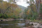
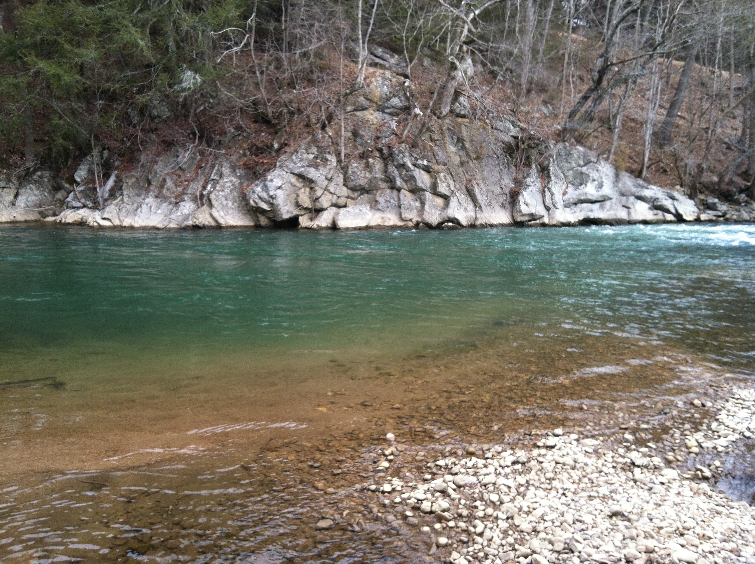
This weekend we went for a walk down the VCT near Alvarado. The melted snow run off from the mountains colored the South Fork of the Holston, making the deeper pools bluish green. The water was just a bit high. The section of river from Damascus to Alvarado was likely about the right level for kayaking.
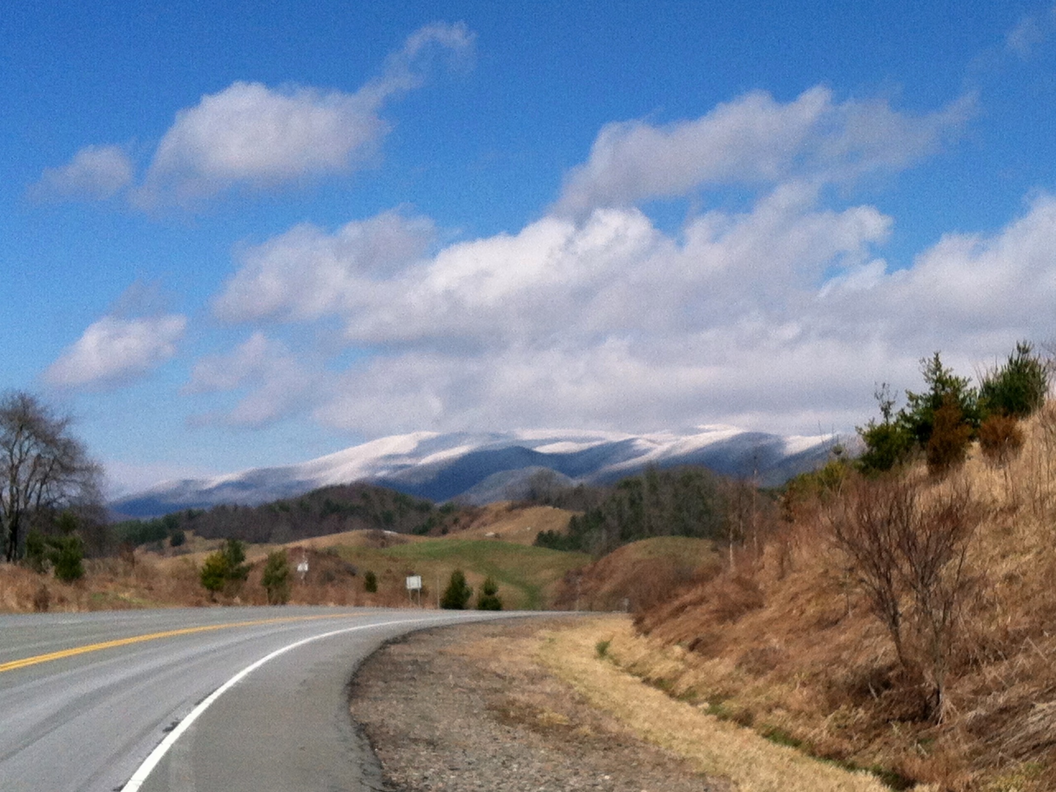
Because of its prominence, Clinch Mountain affords some of the best views over the Holston River and Clinch River watersheds. The best views are available during the winter when there is no foliage. On clear winter days you can see almost 100 miles south. On Saturday, February 22, 2014, I drove to the Hidden Valley Management Area and hiked the southeastern section of Clinch Mountain on access roads and trails in that area.
Clinch Mountain overlooks the small community of Hansonville and Moccasin Creek. Clinch Mountain divides two significant river basins: the three forks of the Holston River drain the valleys to the east and south of the mountain (which is to the left of the ridge in the photos), and the Clinch River to the west and north of the mountain (which is to the right in the photos).

In the photo above, the view shows the spine of Clinch Mountain to the southwest, and further to the south the valley through which I-81 travels, with the Iron Mountains (and Holston Mountain) bordering the other side of the valley, with the much higher Unaka Mountains (including Roan Mountain) on the horizon.

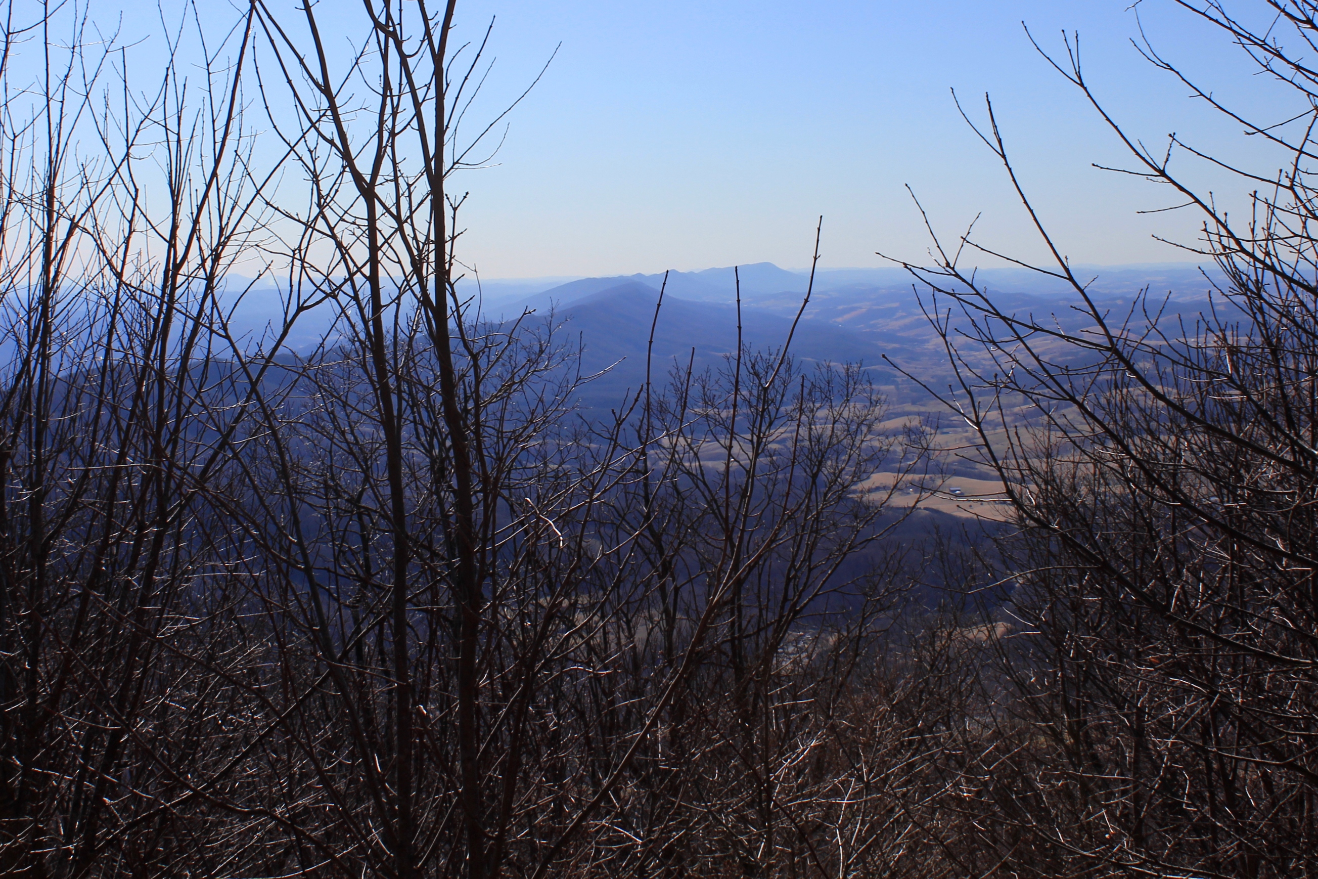
The western side of Clinch Mountain hase similarly long range vistas, with some cliff outcroppings. On this hike, however, I stayed on the southeastern side of the mountain.

In the photo above, Clinch Mountain is on the left, and the much smaller hill on the right is Big Moccasin Ridge. Together they frame in the Big Moccasin Creek and the valley.
This has been a cold winter in Abingdon Outdoors country, yet thus far we have not had the big snowfall that neighbors to the north have had. That was remedied on Wednesday, February 12, 2014, when we finally got hit with a blizzard.
Come Thursday, school was closed, court was closed, public offices were closed, and most businesses were closed.
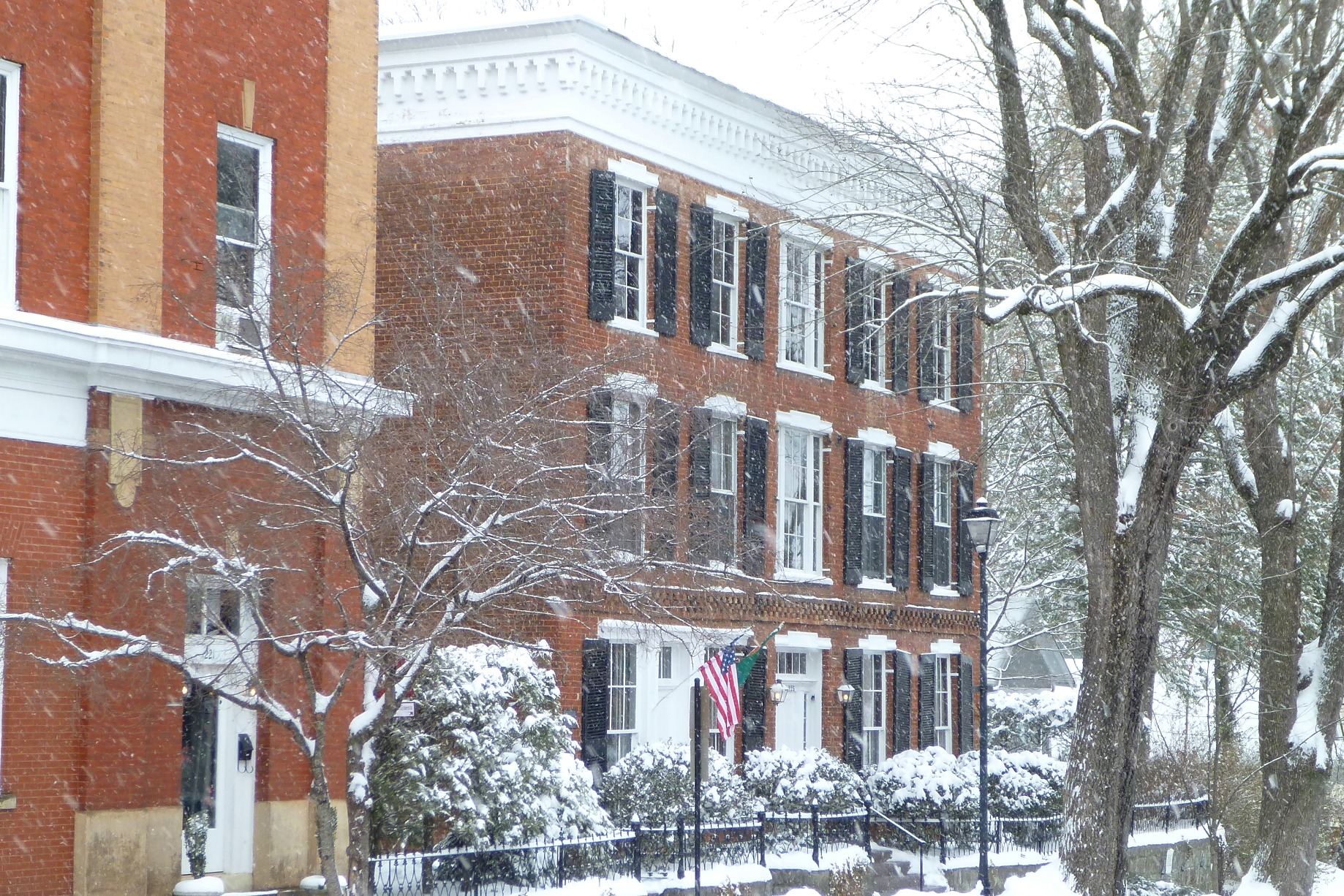
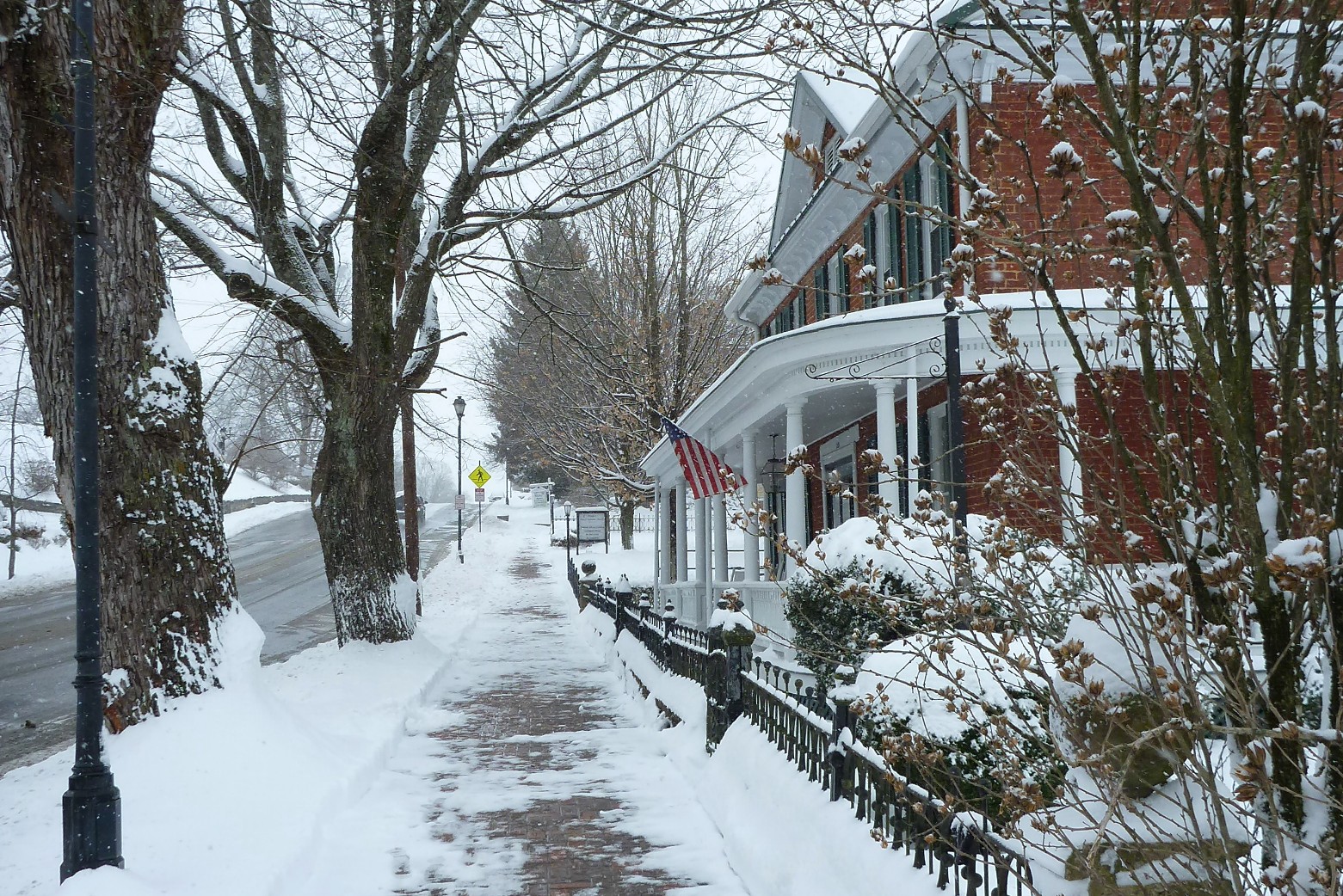
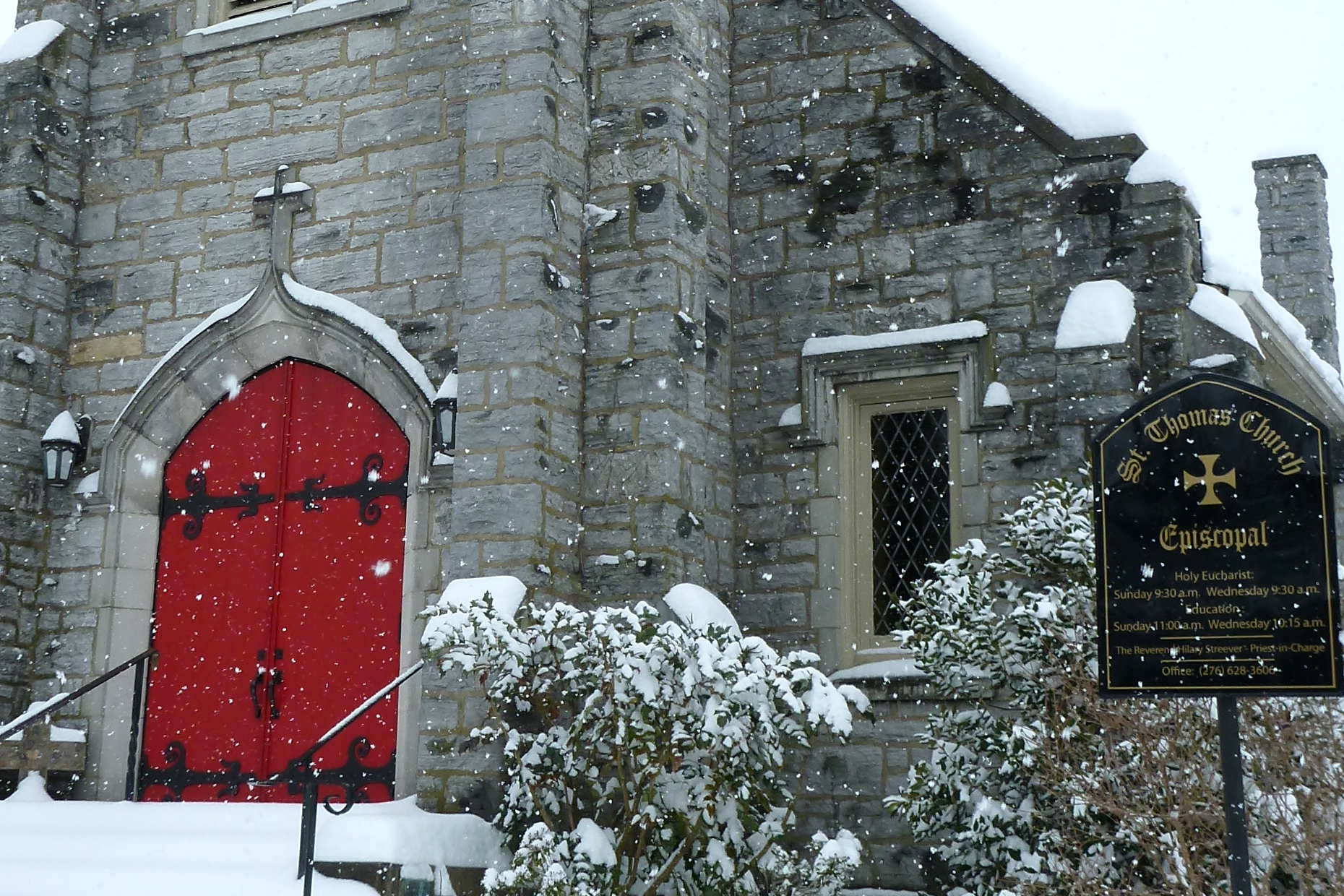
My wife and I walked through Abingdon around noon, and usually busy downtown was largely abandoned, allowing for unobstructed photos of the snow-laden historical buildings around town.

Walking west on Main Street:
View of the Abingdon United Methodist Church. The exterior of the church was renovated in 2013. Note the freshly painted white parapets on the bell tower.

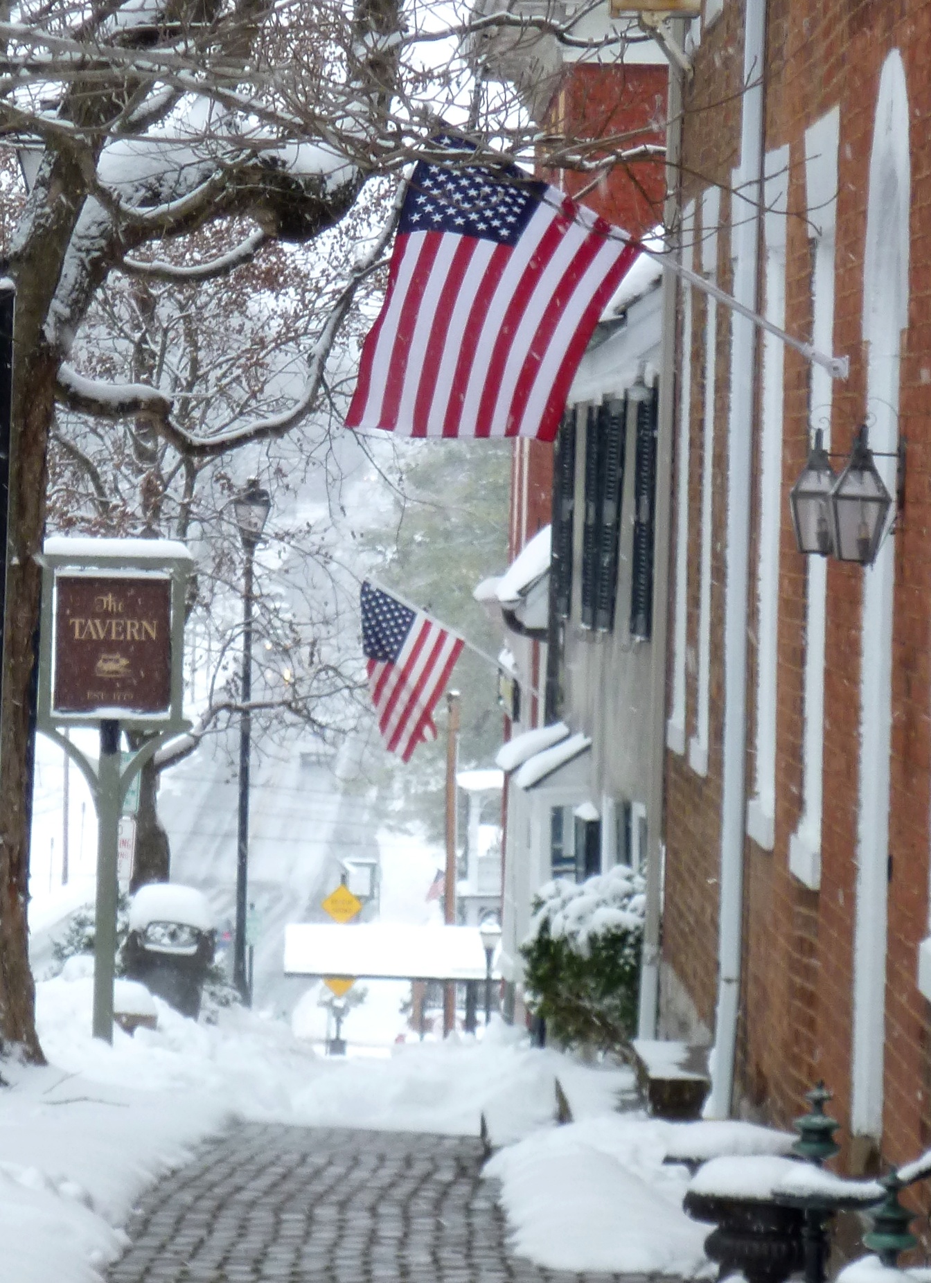
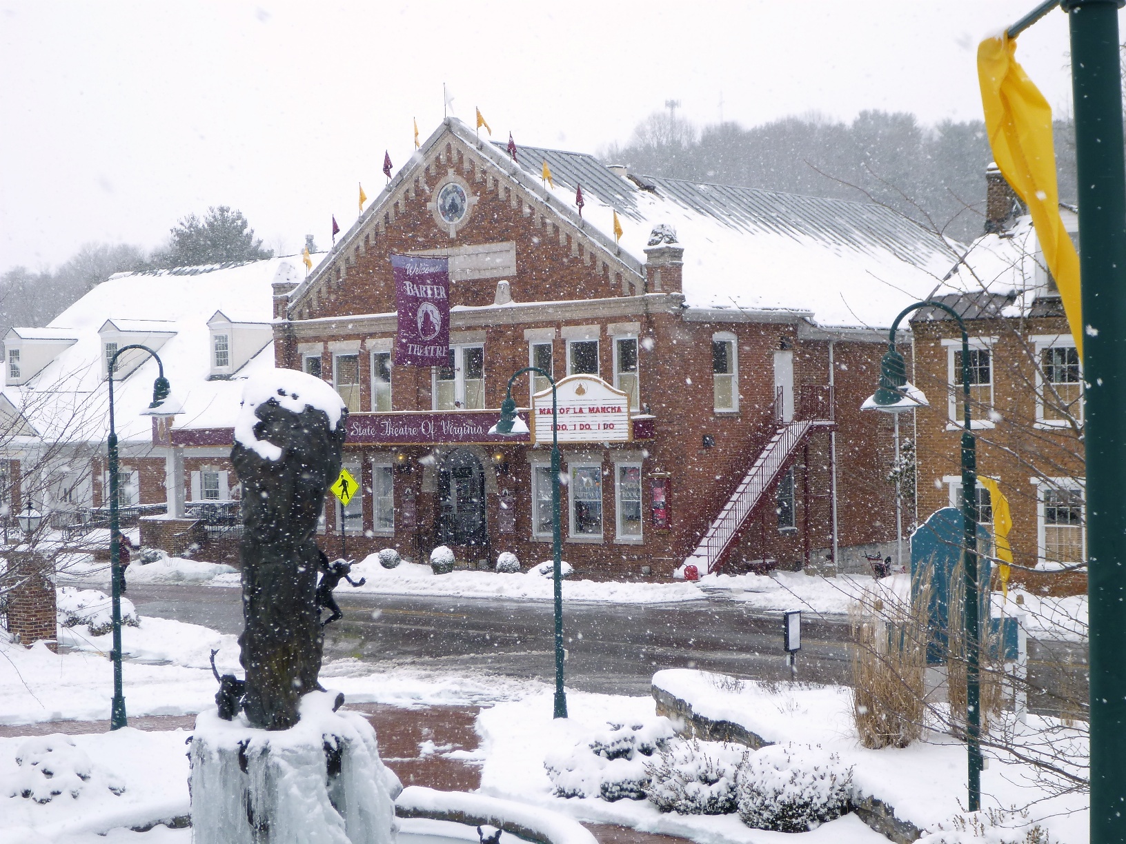
Continuing west, we climbed snow-covered stairs to the “Barter Green,” the area across Main Street from the Barter Theatre.
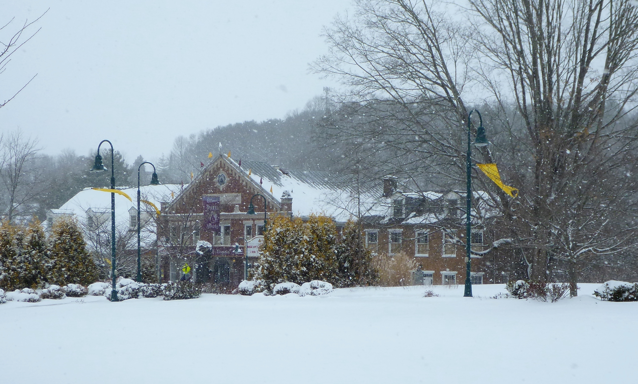
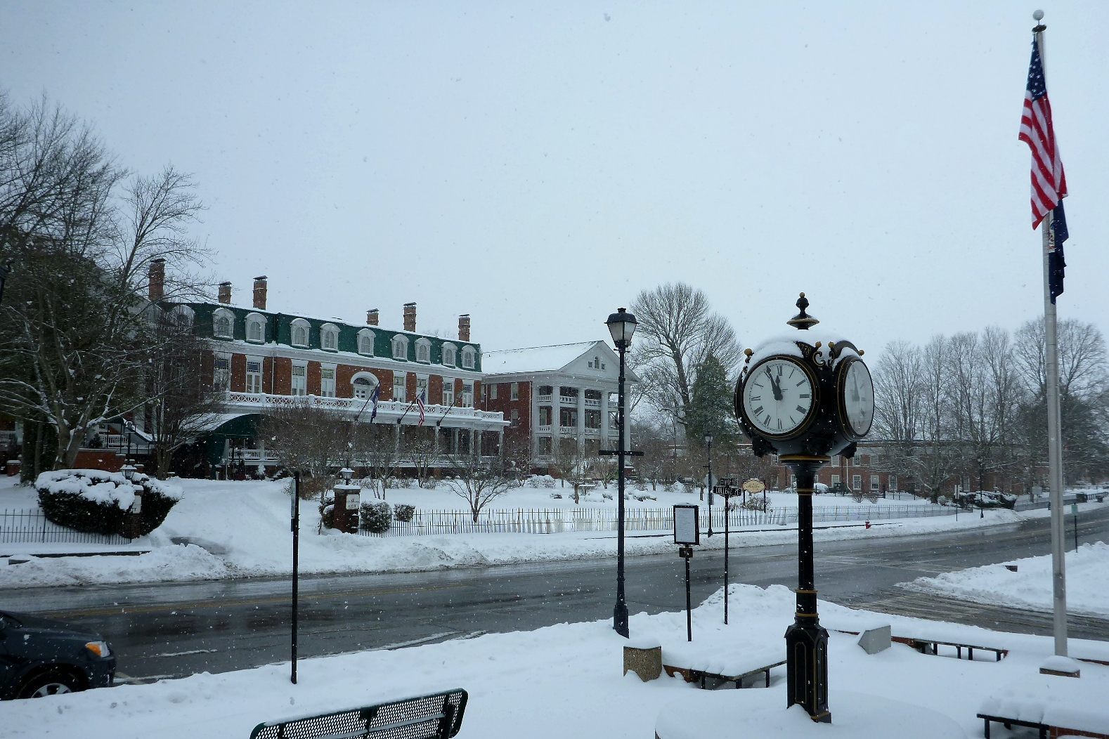
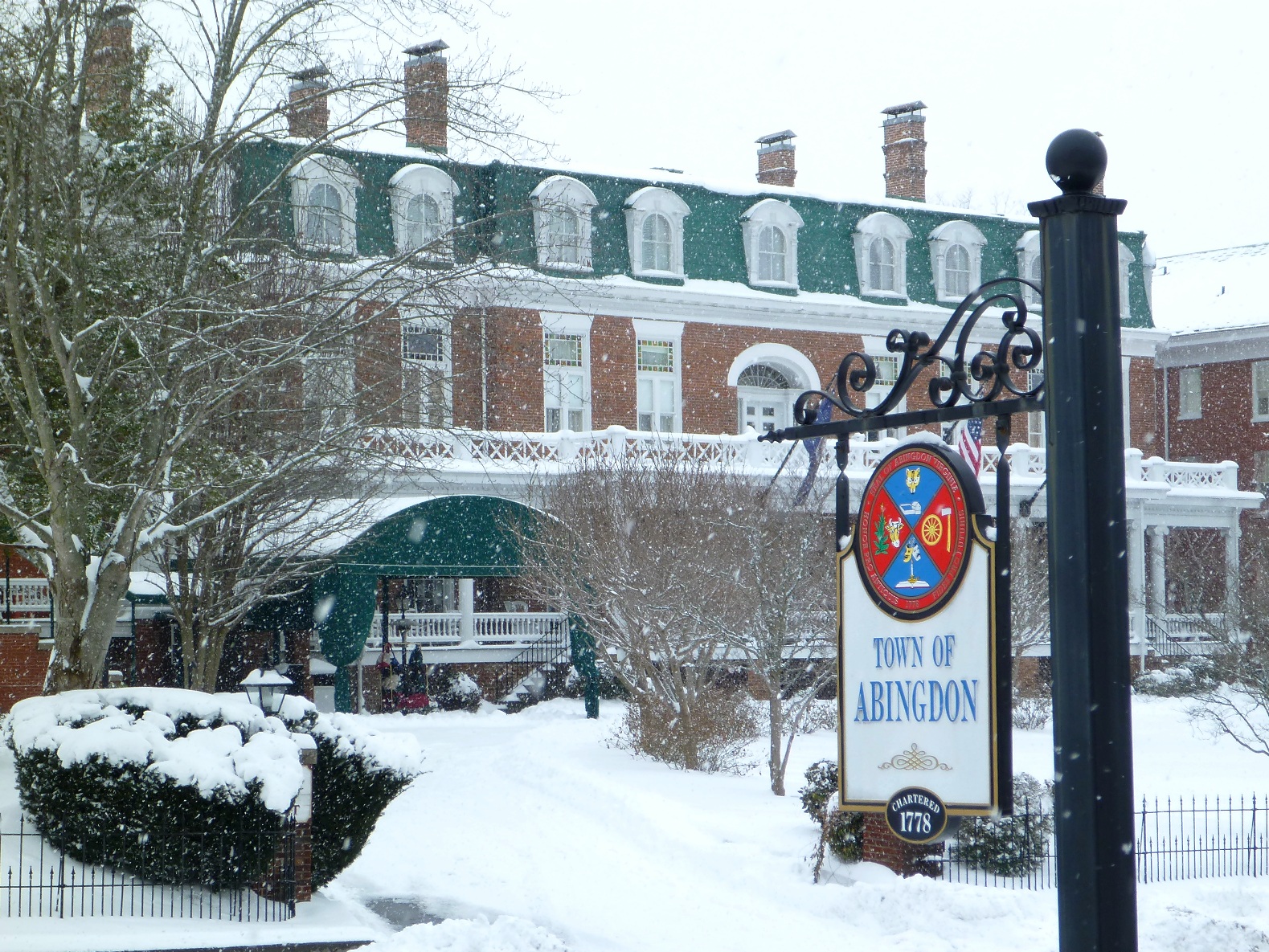
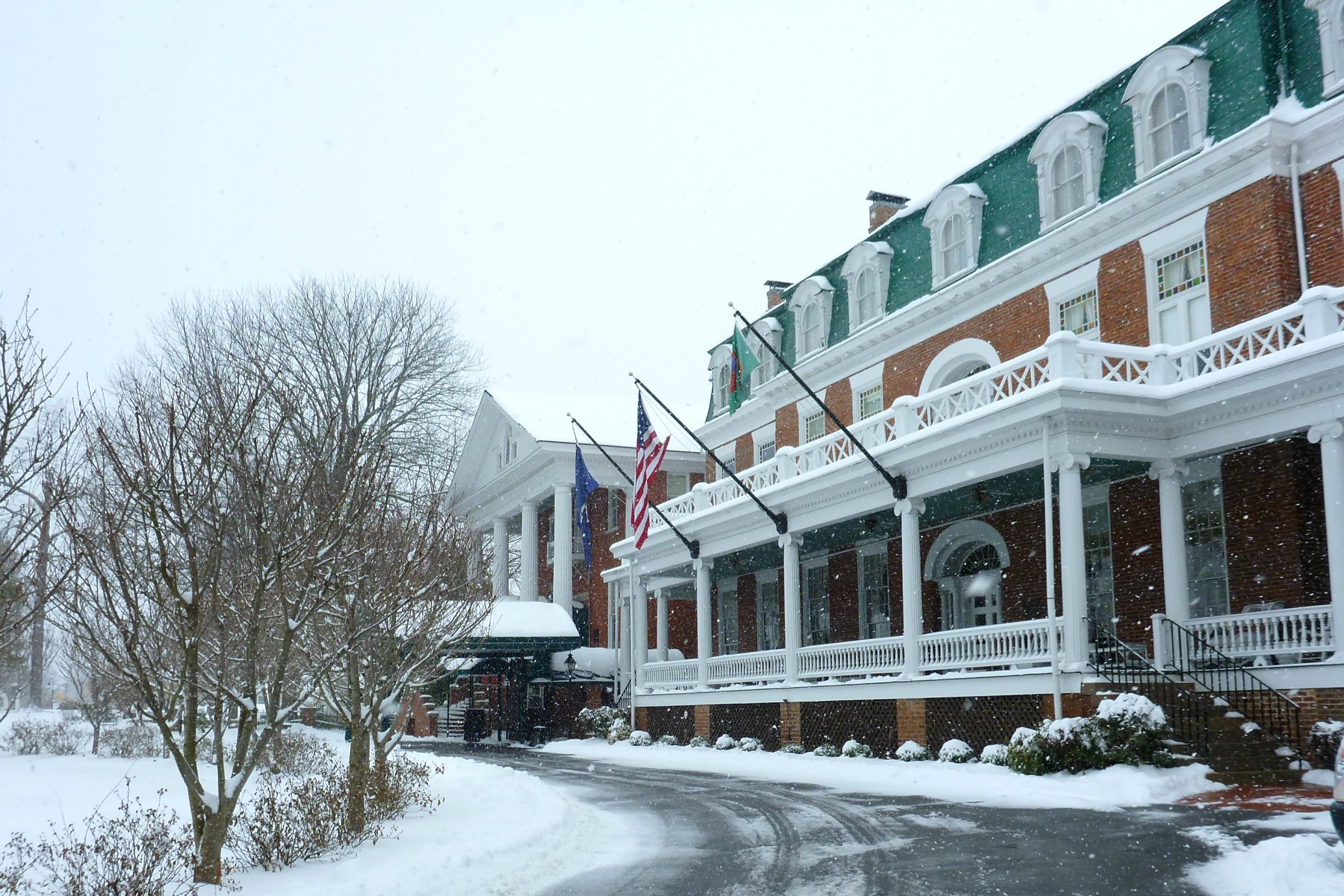
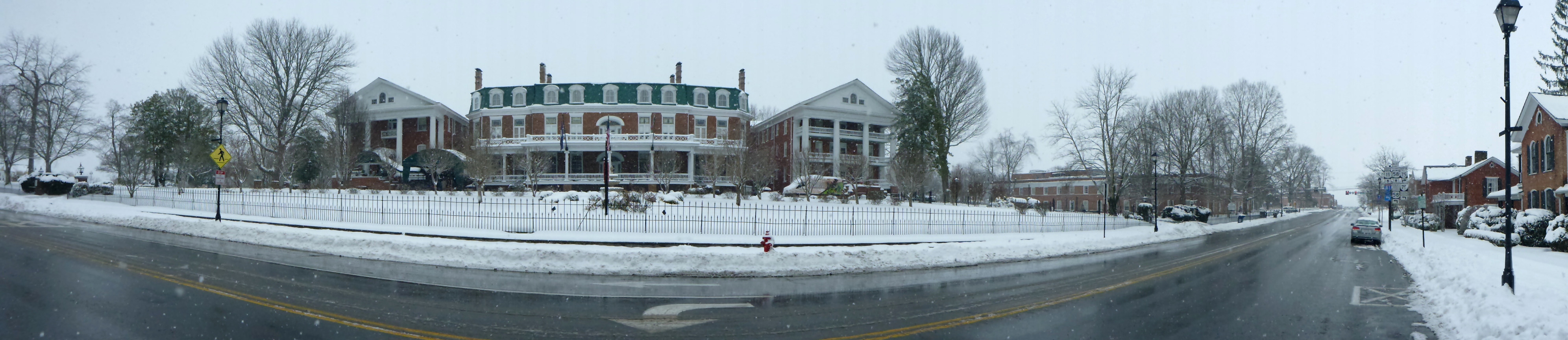
We continued towards the Barter Theatre and the Martha Washington Inn.
The LOVE sign in front of the Martha Washington Inn, appropriate for Valentine’s Day, February 14:


Walking through the snow past a former employer:

The Martha Washington hotel driveway was empty (except for the shuttle that is used to drive cyclists to the Virginia Creeper Trail):
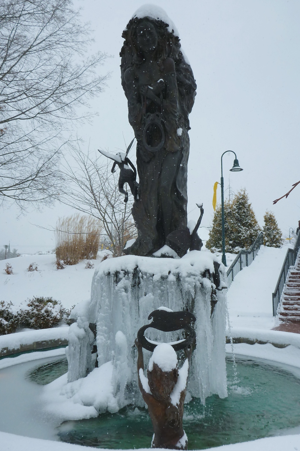
Walking through town, we had the winter wonderland to ourselves:
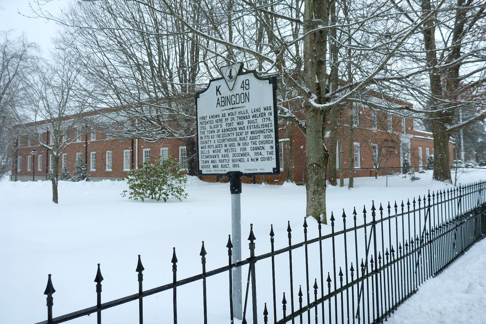
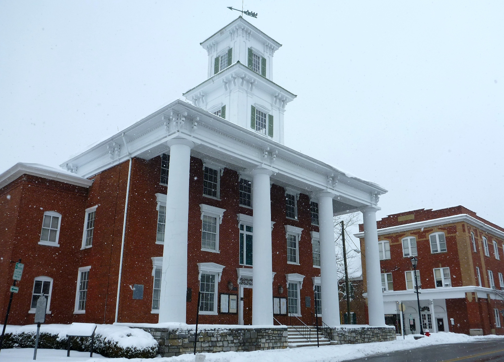
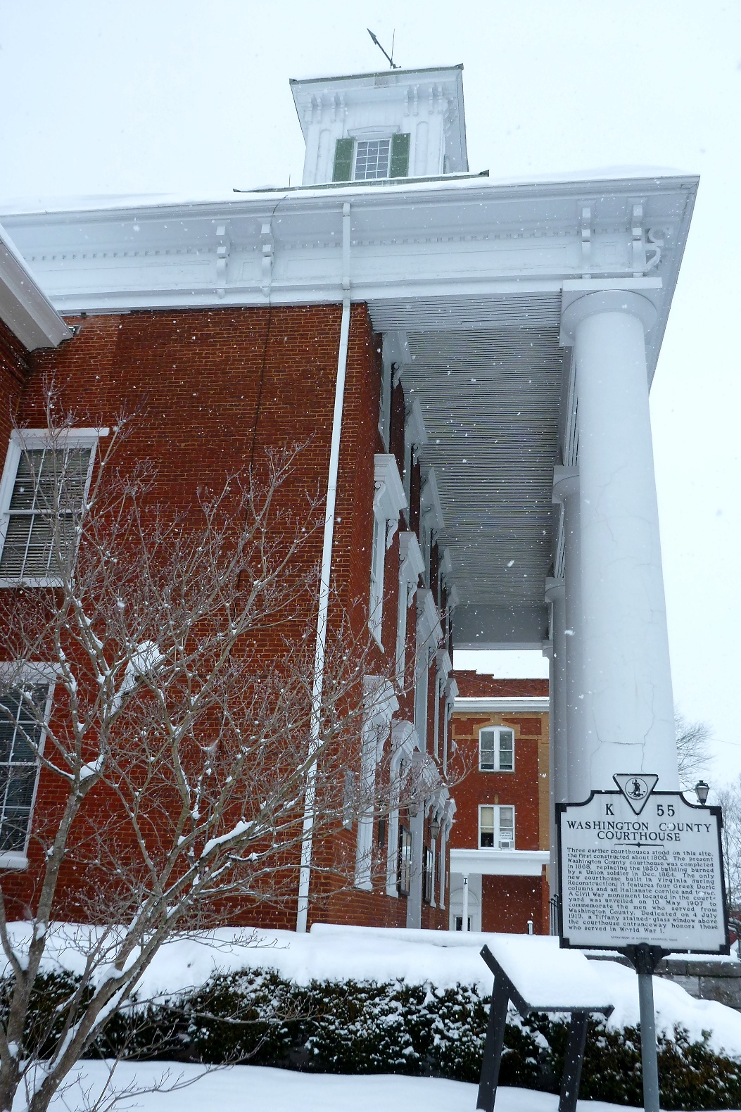
Turning back east, we headed towards “courthouse hill,” where the county courthouse is located.


Empty courthouse:
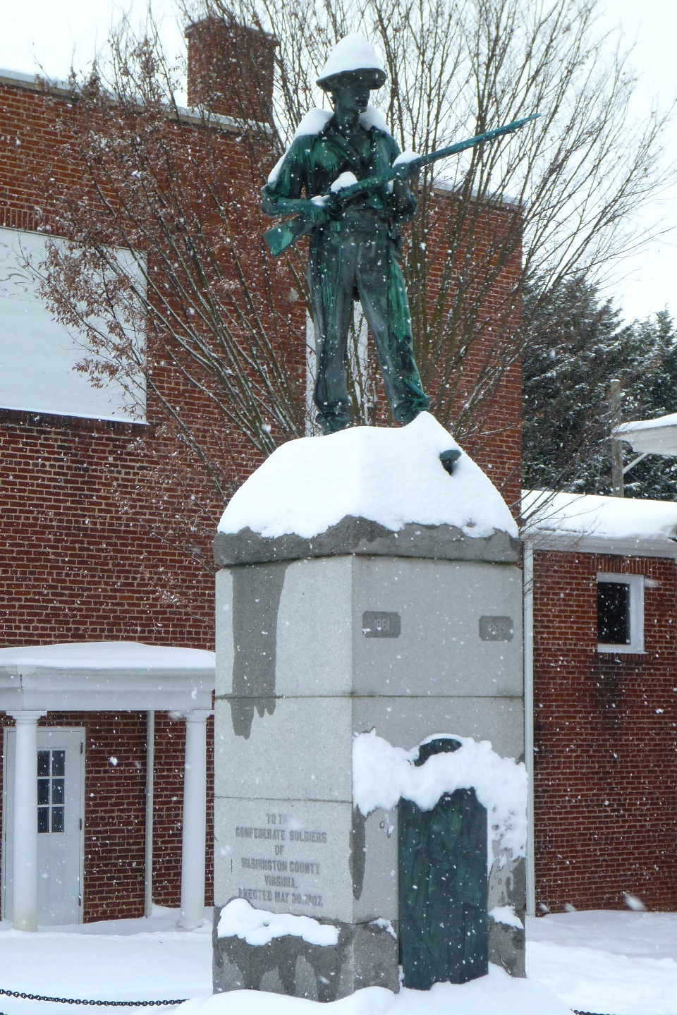
Snow-covered hat makes for a cold soldier:
Headed east on Main Street: