One of the gems of the Mount Rogers National Recreation Area is Fox Creek. Nestled between the south side of Iron Mountain and the north side of Mount Rogers, Fox Creek flows east through about 5 miles of National Forest before entering private property down the mountainside.
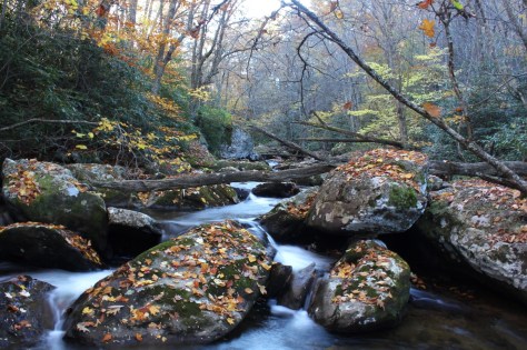
Lower Fox Creek
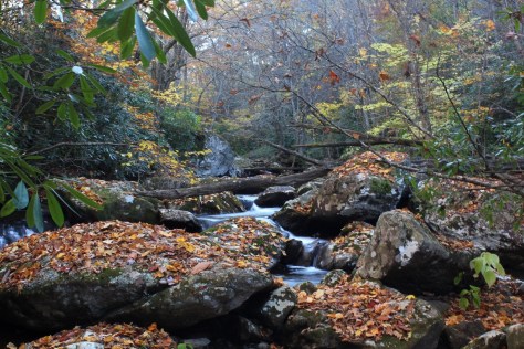
The lower section of the creek that lies within the national forest flows through a miniature gorge. Large boulders and timbers create numerous beautiful pools of water. Fox Creek Falls, a fan-type cascading waterfall, is a much photographed feature. The photo below shows Fox Creek Falls from a side angle, a less traditional view. (Click on any of the photos in this article to enlarge them.)
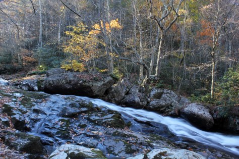
The two trips we took to Fox Creek in October revealed remarkable foilage on the moss-covered boulders. Although past their peak vibrancy, the leaves created a tapestry of color that I needed to capture with the camera.
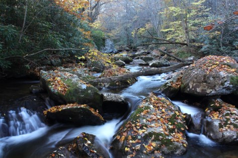
The first day we arrived in the middle of the afternoon. The sunlight was too harsh for good photography, so we came back the next day in the later afternoon. The boulders in the creek are quite large; in the photo below, you can see my son Isaac playing on one of them.
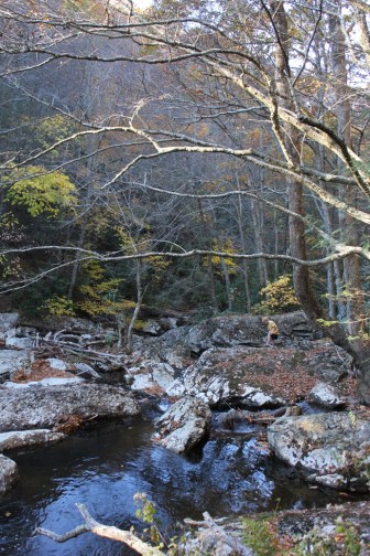
Upper Fox Creek
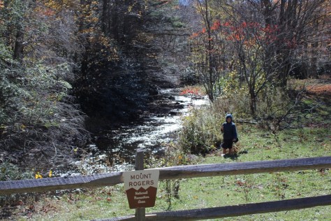
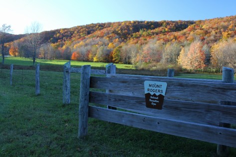
The upper part of Fox Creek is formed when Lewis Fork Branch joins the Fox Creek headwater. At this point, the creek becomes a full fledged, albeit small, trout stream. A modest, high elevation valley forms between Mount Rogers and Iron Mountain. The National Recreation Area has a large, split rail fence that runs along Virginia Route 603 for several miles.
Along this section of road is the trailhead for the Mount Rogers Trail, Grindstone Campground, a parking lot for the Appalachian Trail, the Fairwood Horse Camping Area, and the entrance to the unimproved road that goes up to the Scales area of Pine Mountain.
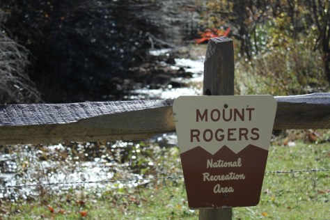
Fox Creek in this area is a small, swiftly moving creek with a gentle gradient remiscent of a Midwestern trout stream or an Eastern chalk stream as much as typical freestone stream. However, the flow of the creek is variable as it is dependent on runoff from Mount Rogers.
The views up and down the valley are Western-like. In fact, much of the Mount Rogers area reminds many people, including me, of the West. It’s like a little slice of the West dropped into Southwest Virginia.
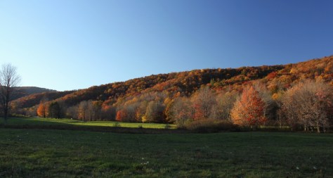
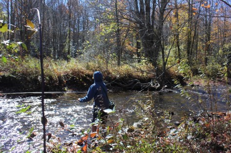
The large meadows along upper Fox Creek provide many starting points for short hikes. There are also numerous places to begin longer hikes up Mount Rogers or Iron Mountain.

the top image looks almost HDR. Great shot
Thank you! All photos on the website are unaltered. (The only alteration, if you call it that, is that I use a polarizing filter on the SLR for most outside photography.) I try to have the photos on the site accurately reflect the region of Southwest Virginia. – Eric
Beautiful! Thanks! 🙂